Posted on September 24, 2015
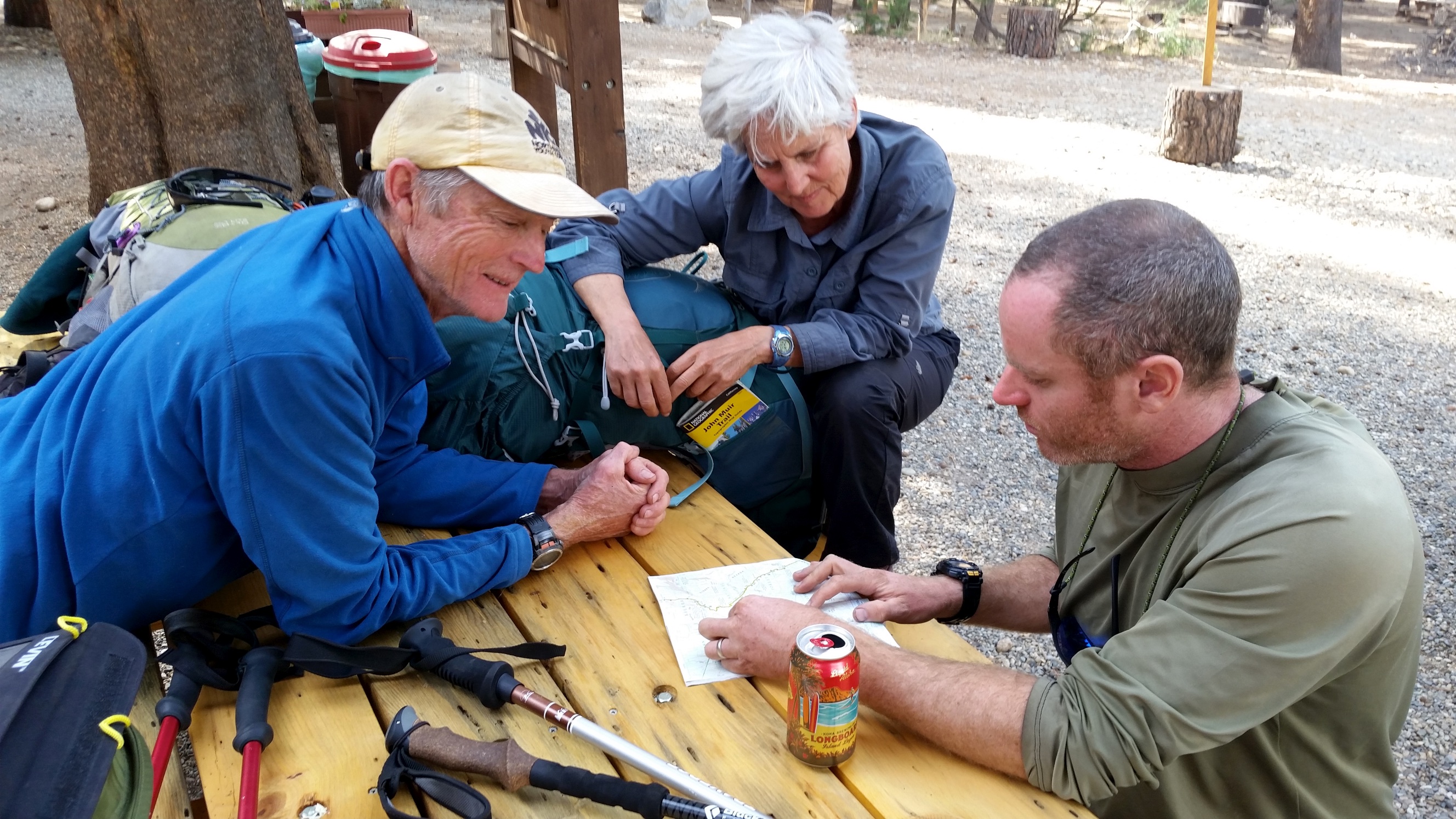
John Muir Trail
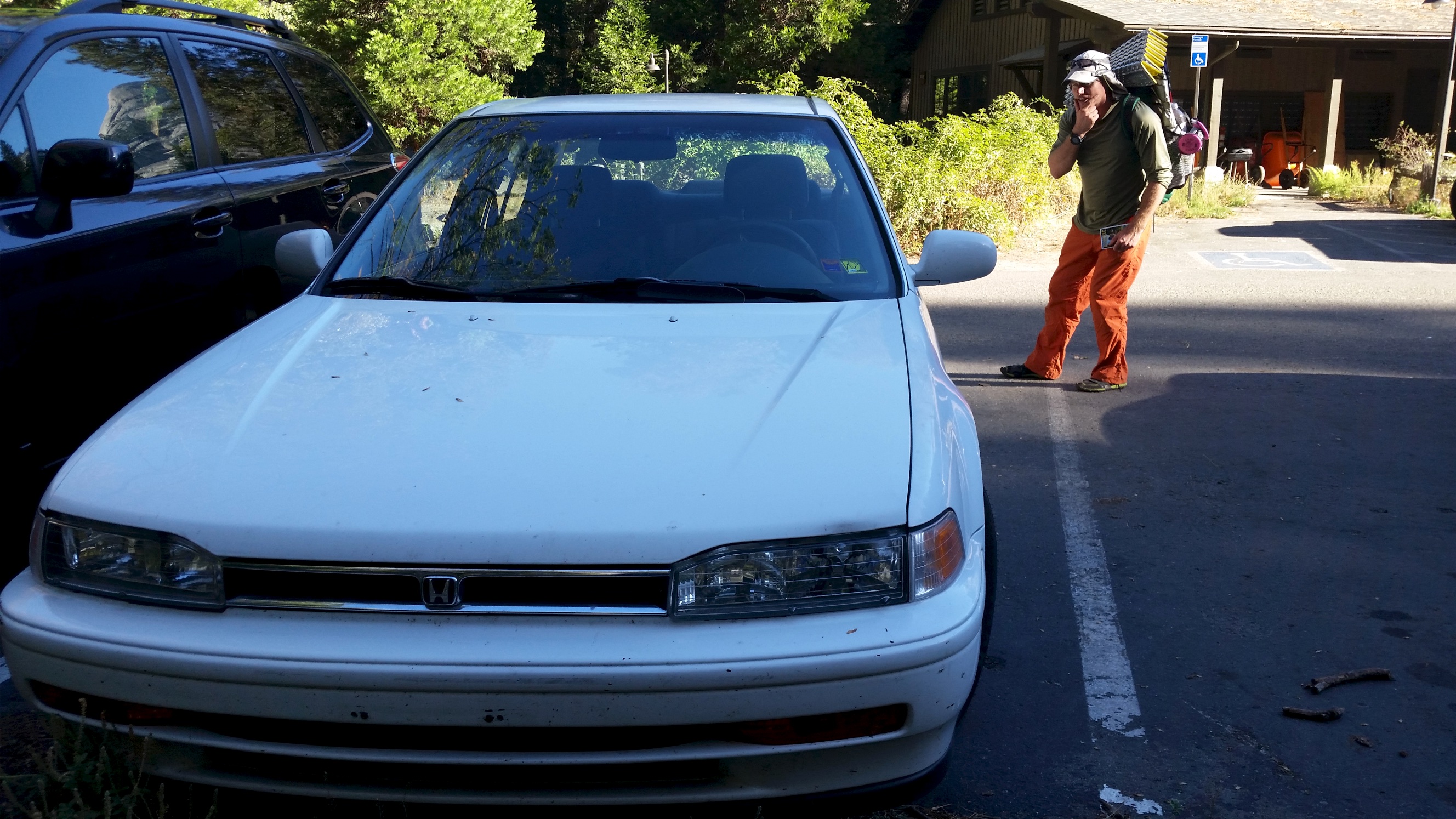
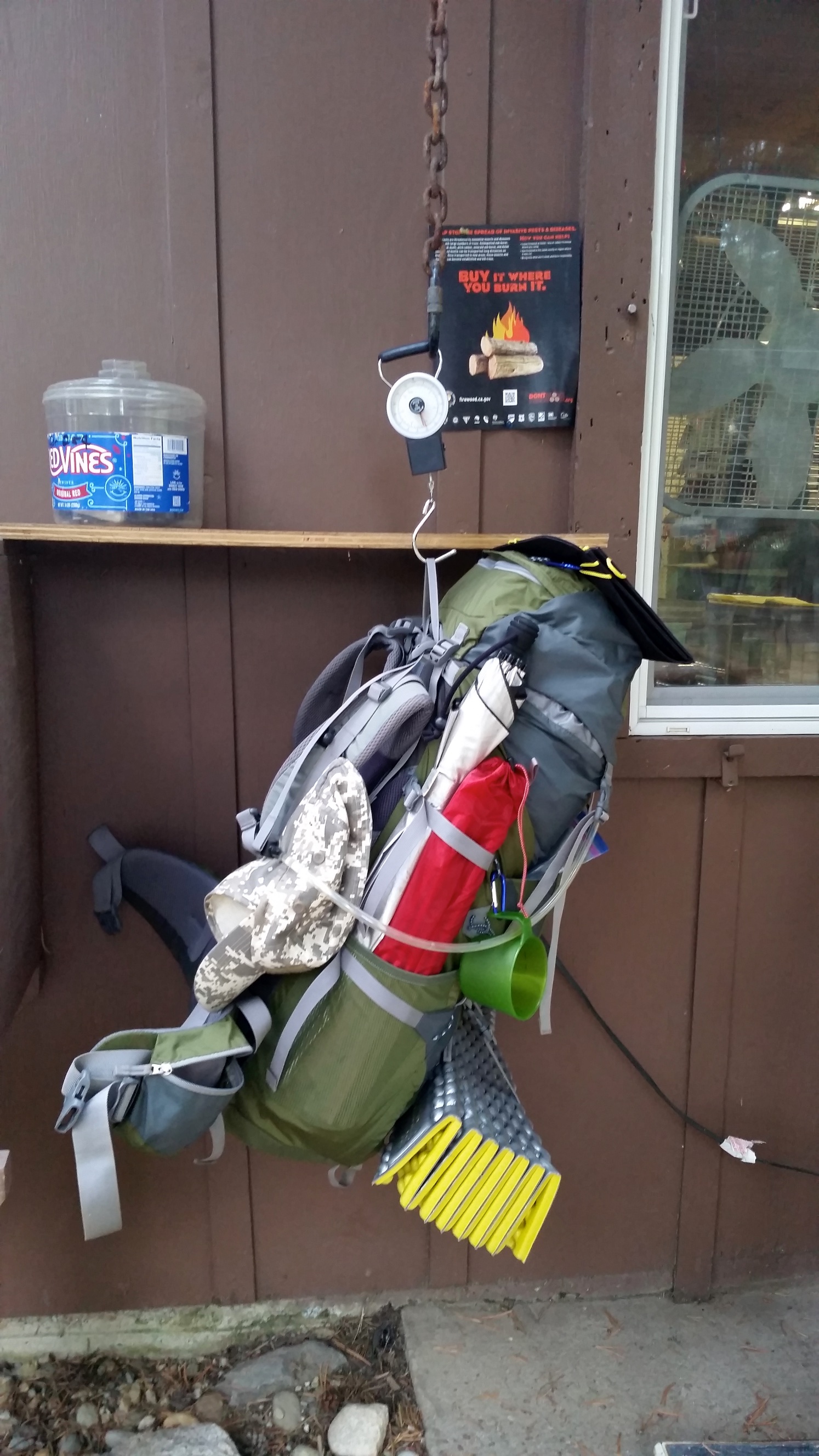
Eric picked me up dark and early in a rented yellow Kia Soul and we headed off on our journey to Yosemite to hike the John Muir Trail, roughly 210 miles from Yosemite Valley to Mount Whitney with ultralight gear (see my gear list here). Anticipation and excitement were thick in the air, even though I was finding it difficult to unplug from work at first. We drove to Fresno airport, returned the car and jumped on the YARTS bus from Fresno to Yosemite national park.
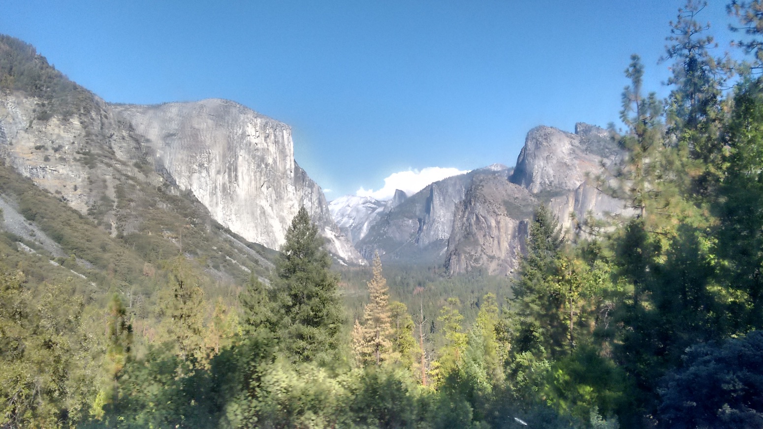
On the bus we sat near a Scottish couple who had come over to climb El Capitan, complete with their portaledge and other climbing equipment. They were planning on a three-day climb up the 3000 foot rock face. On the bus they were excited, but as soon as we caught a glimpse of the real thing, all of our jaws dropped and their excitement changed to abject fear.
Words can’t do it justice! In fact, photos can’t do it justice either. At least my photos. Ansel Adams maybe…
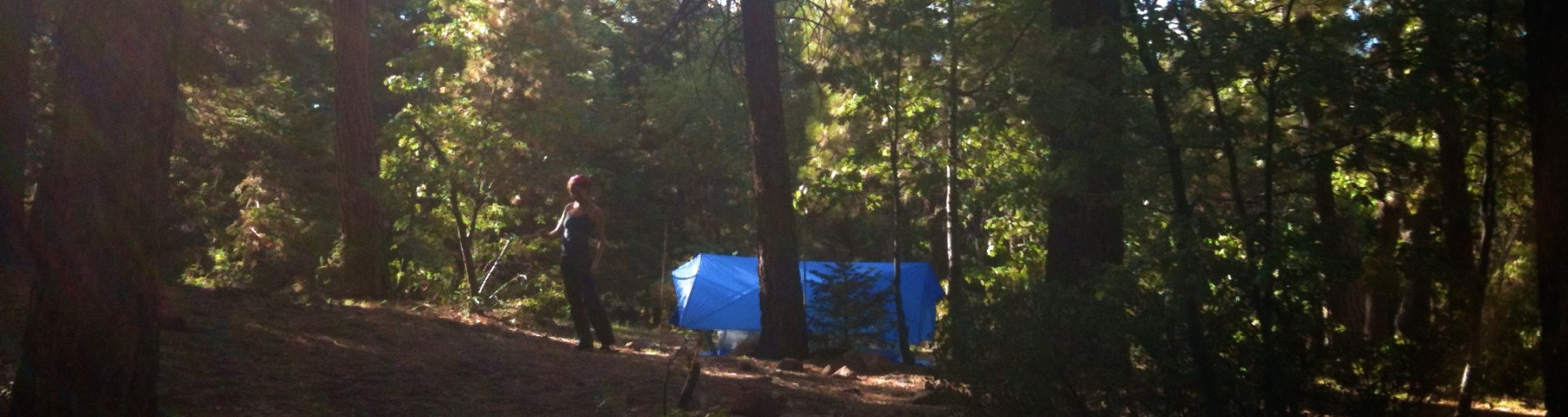
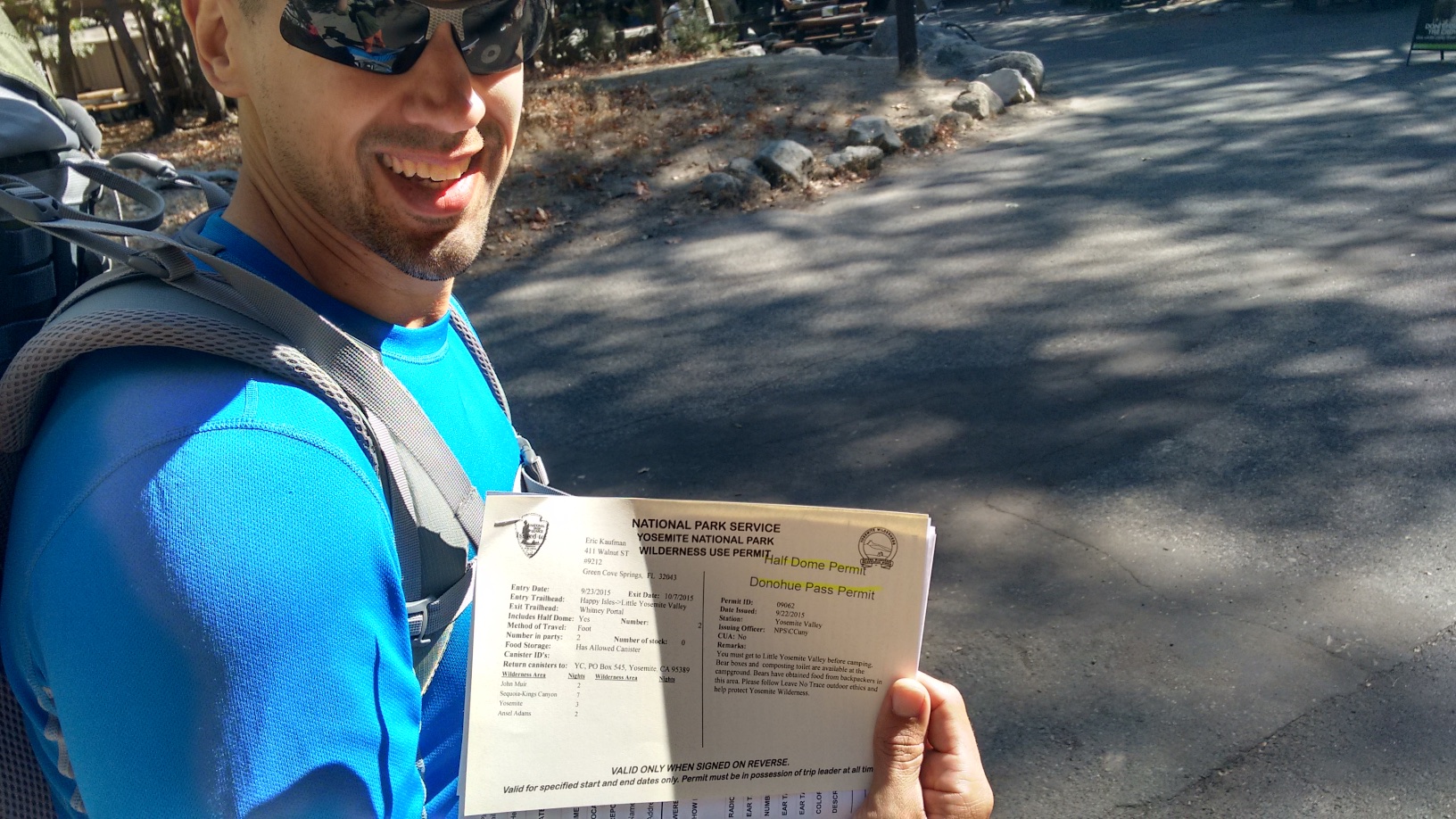
We spent the first night at the backpackers’ campground – our permit would be available to pick up the following day, and our hike permitted to begin the following day. At the backpackers’ campground we met a cool gent who had developed a type of running cart which allowed him to sort of lie down and run like a cheetah. He showed me some videos, it is quite a strange contraption. He then proceeded to eat about ten pounds of diced celery for dinner.
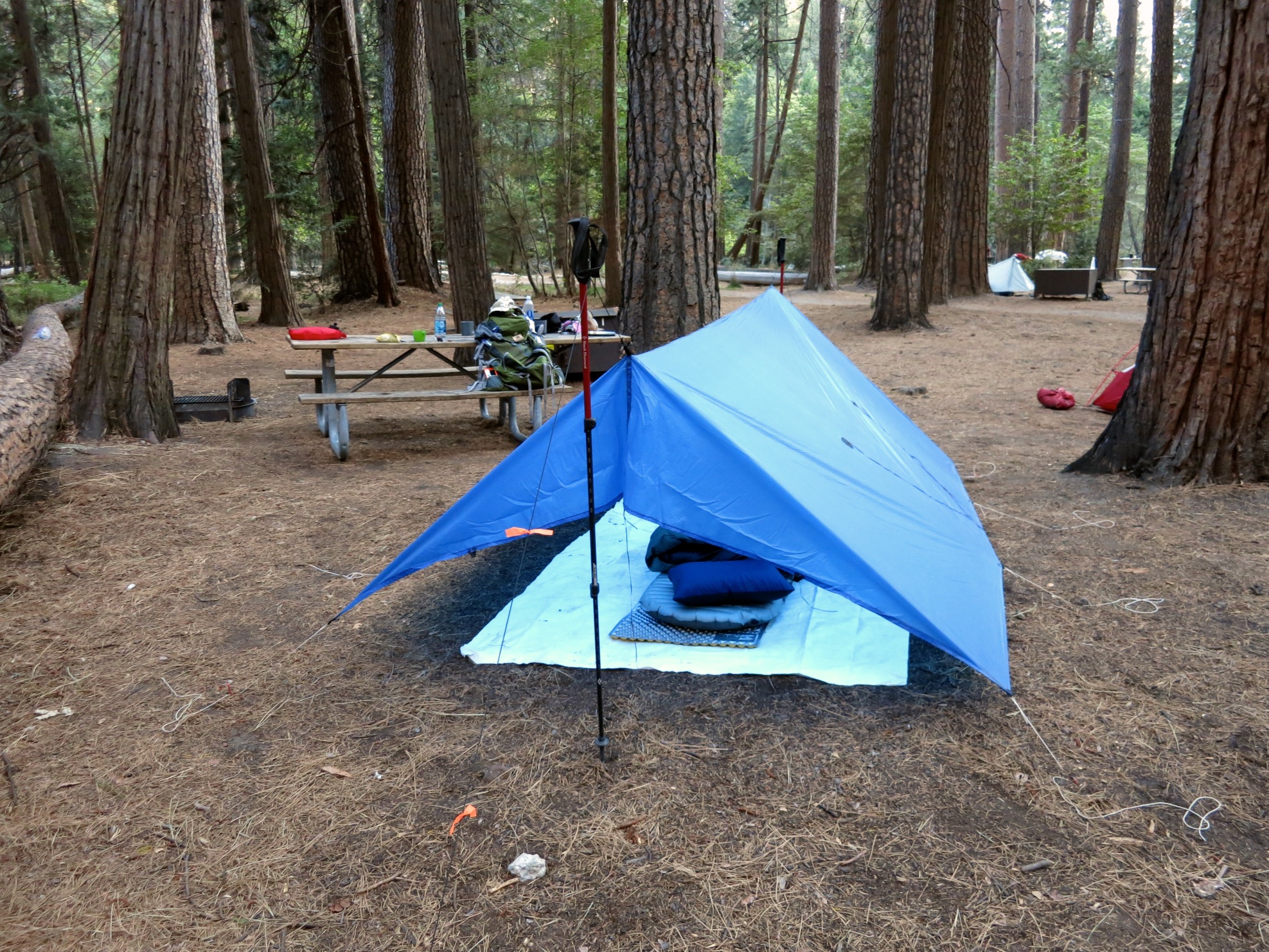
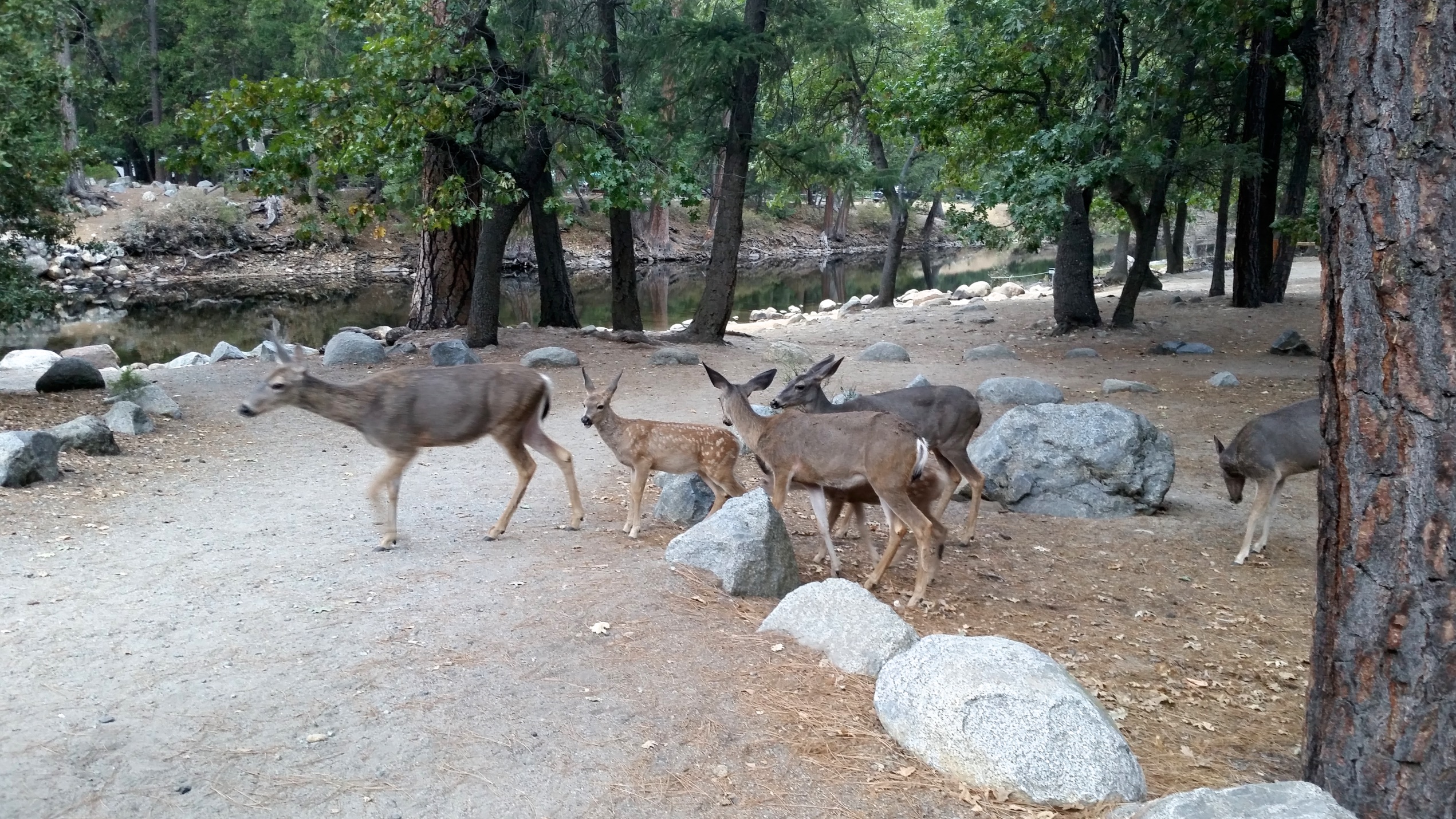
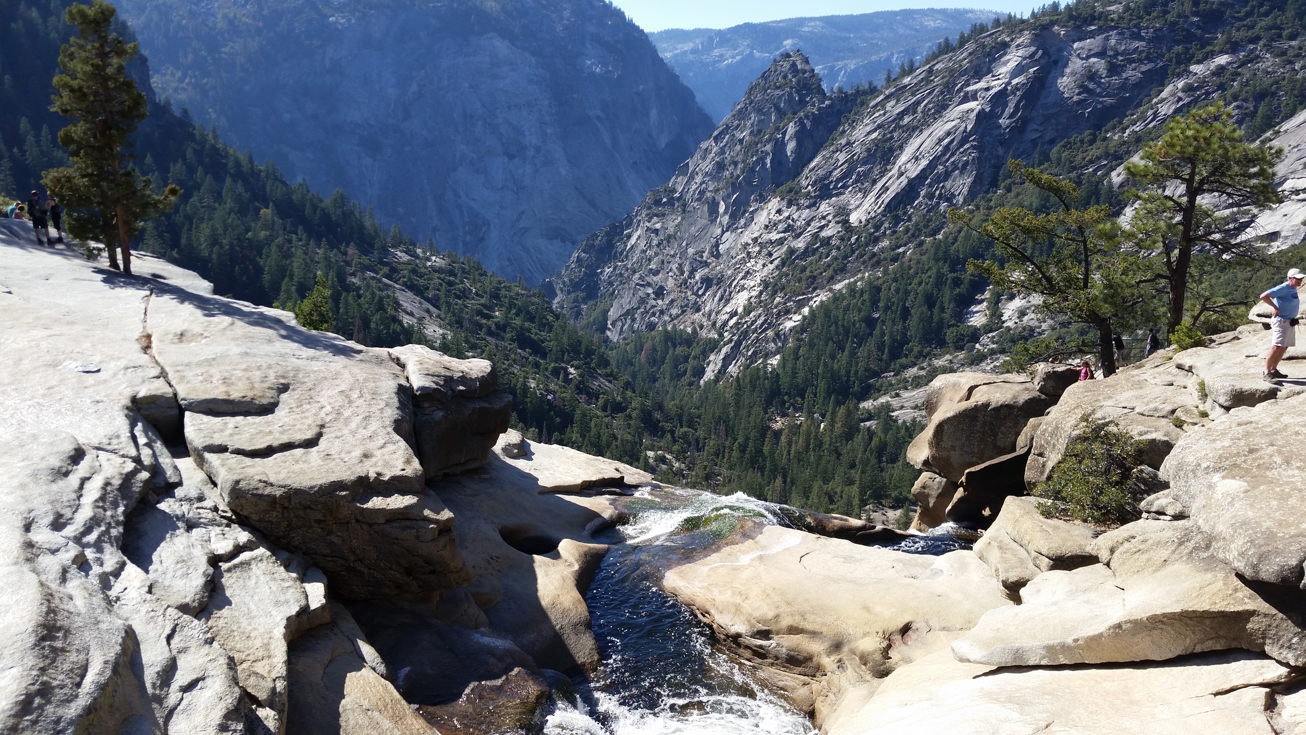
The next day we decided ‘to hell with the permit’ and began our hike a day early, heading from Happy Isles to Little Yosemite Valley. This section of the trail was really crowded with people climbing up Half Dome, but once we made it past the throngs we found ourselves at the campsite, next to the Merced River where we rinsed off and had a quick dip.
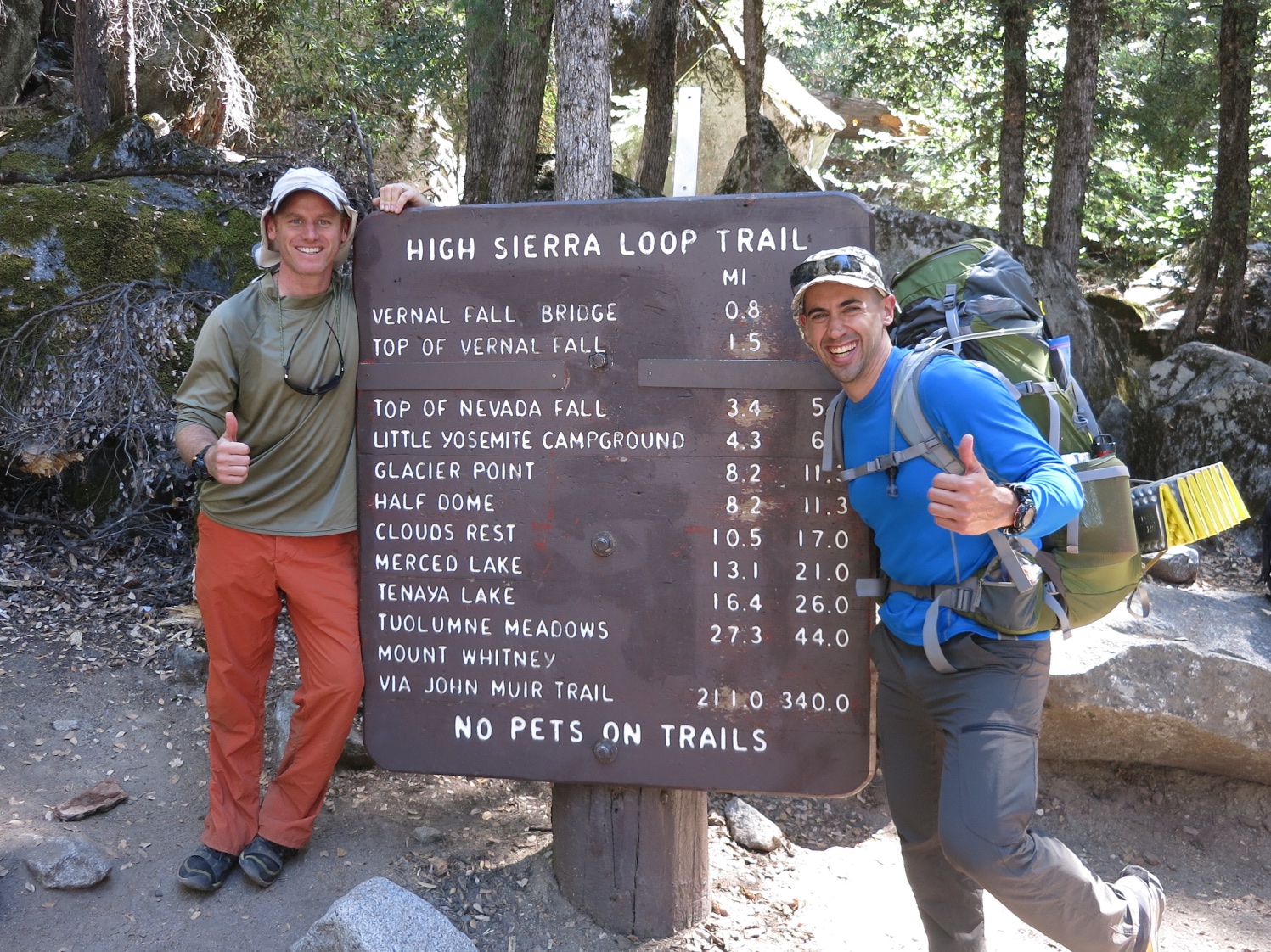
Climbing out of the valley was as difficult as I’d anticipated. It is steep and relentless, and we were only just starting to acclimate to the altitude (6,000ft at this point).
The next morning we set off for Tuolumne Meadows. It was a long, beautiful day, with Cathedral Pass in the middle, our first pass of the trip (at 9,703 feet). We kept seeing these spiky mountain peaks, thinking ‘Oh yeah that looks like a cathedral,’ only to round a corner and see another even more majestic set. It was a beautiful, triumphant day.
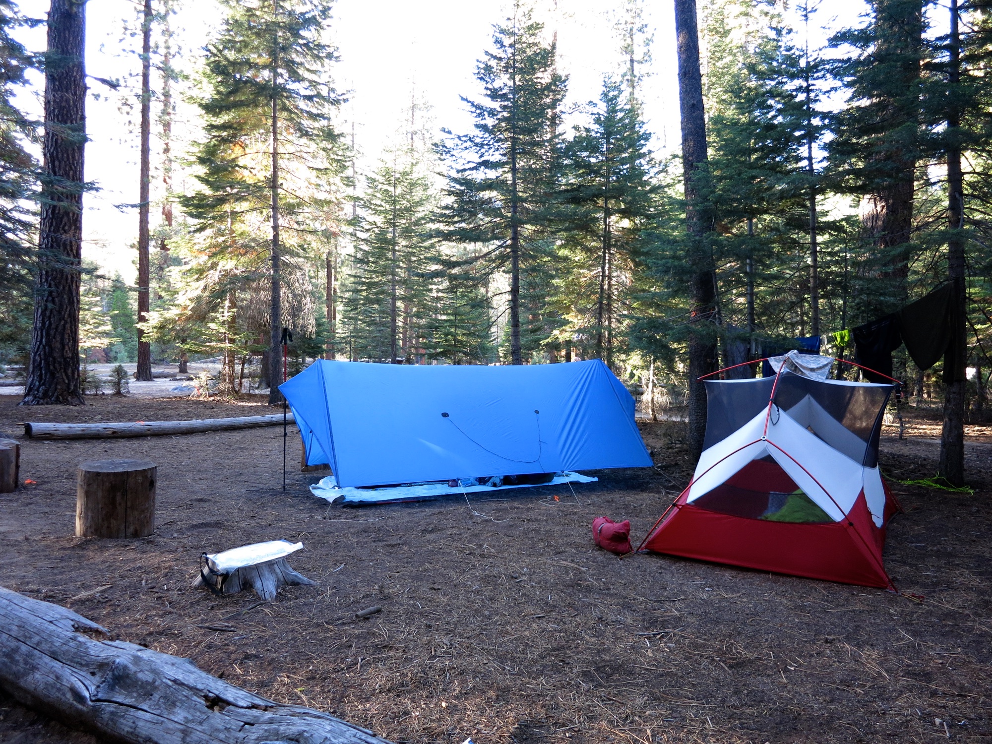
We ended slightly confused about our location in the vicinity of Tuolumne Meadows, hiking on the highway for a mile or so before getting completely lost in the enormous campground looking for the backpackers’ campsite. We had intended to hitch-hike the mile on the highway after these tall dark and handsome blokes had told us how easy it was to hitch a ride. We had no such luck. I guess we are not tall, dark or handsome enough. Maybe it was just my wacky looking home-made equipment.
It was after dark when we finally found the spot and set up – we decided to never stop after dark for the rest of the trip.
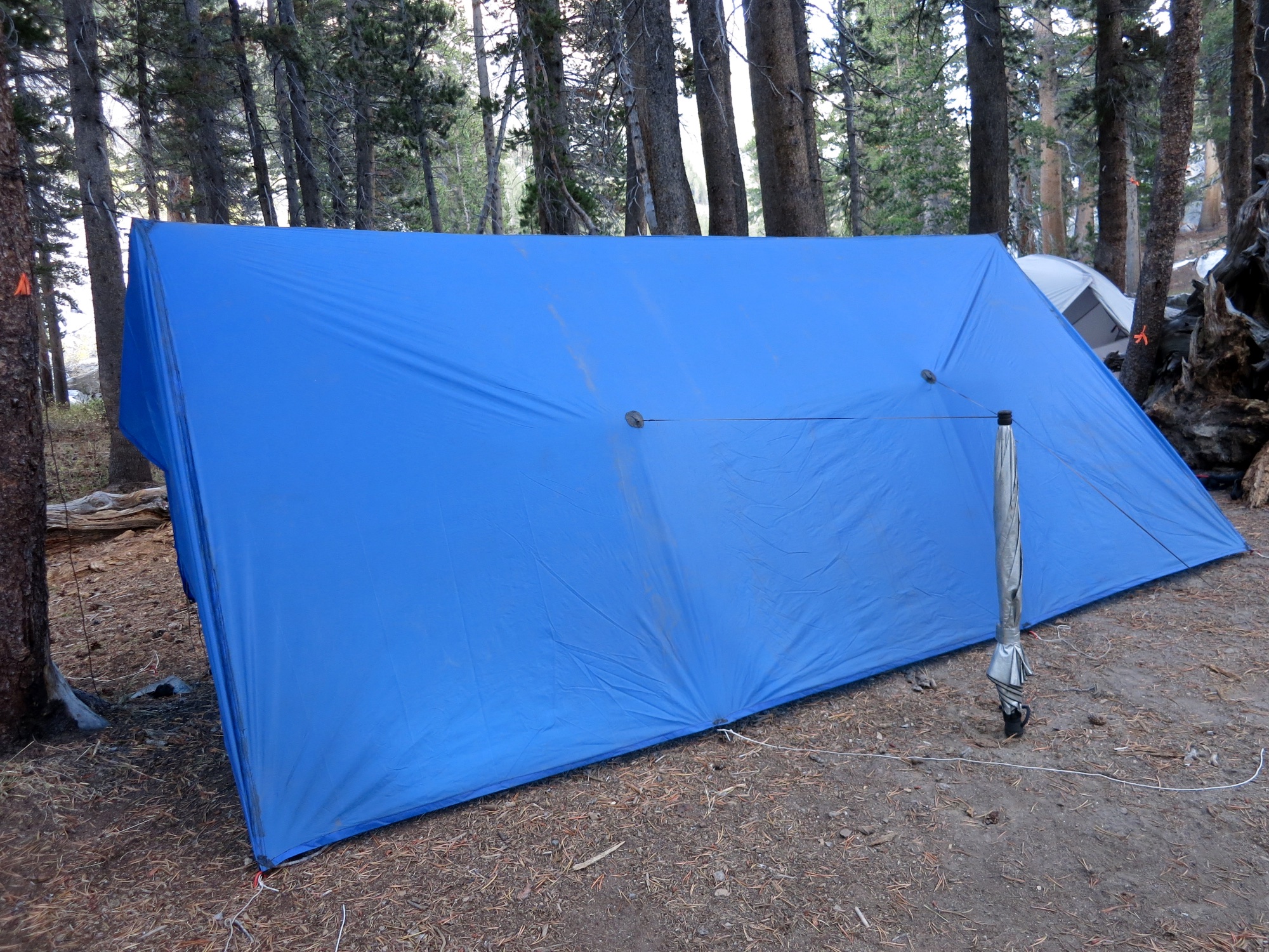
There is an amphitheater at the Tuolumne campground and the rangers were holding a campfire and sing-along. Sure enough, the sweet sounds of dozens of campers singing kum-bayah wafted through the campground as we ate our dinner and hit the sack. It was a pretty cold night at about 36 degrees F measured under my tarp. I was toasty warm with my excellent down quilt!
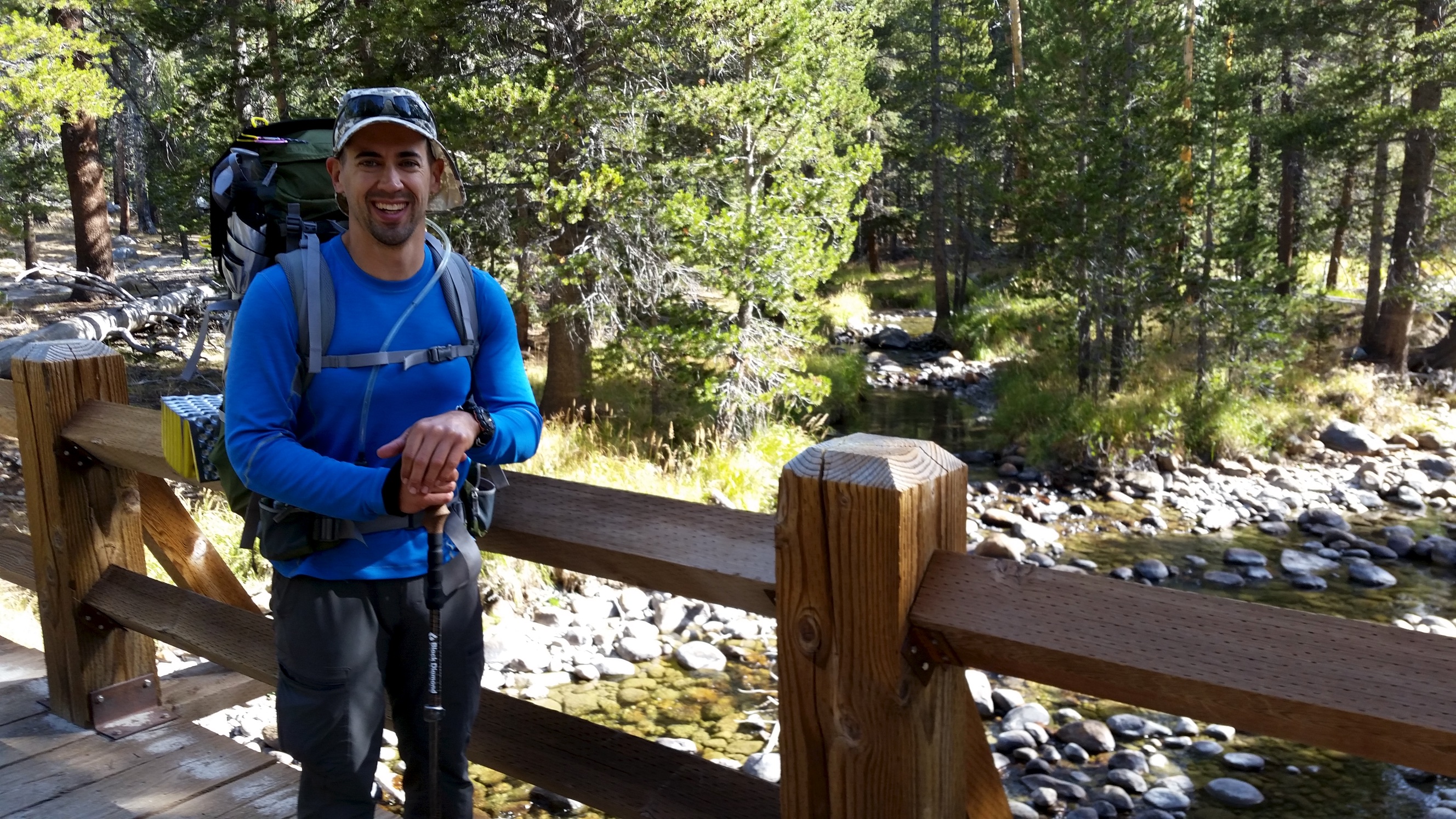
In the morning we took a leisurely time packing up, leaving around 9am to hit the shop. I loaded up on chips (an accomplished PCT thru-hiker we’d met the day before had told me about how chips are high in potassium and can function as an ultralight electrolyte replacement, so I was keen to try out this theory) and away we went. My trail name of ‘Chops’ (for Chips) was coined!
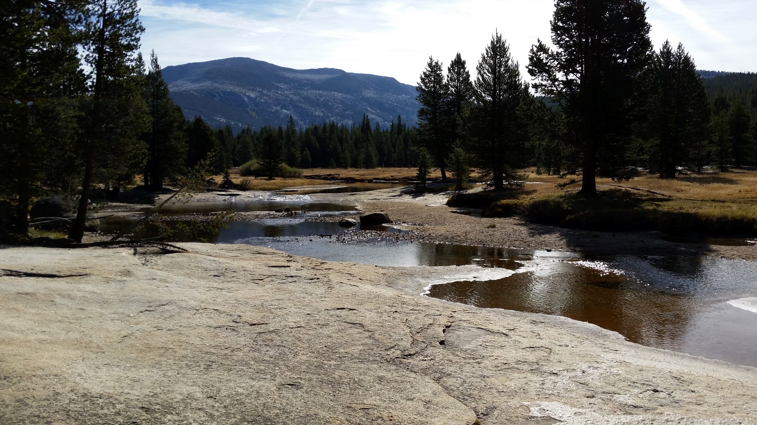
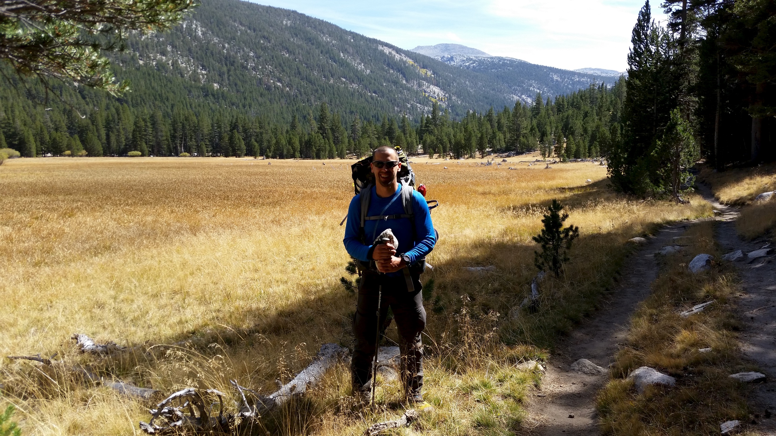
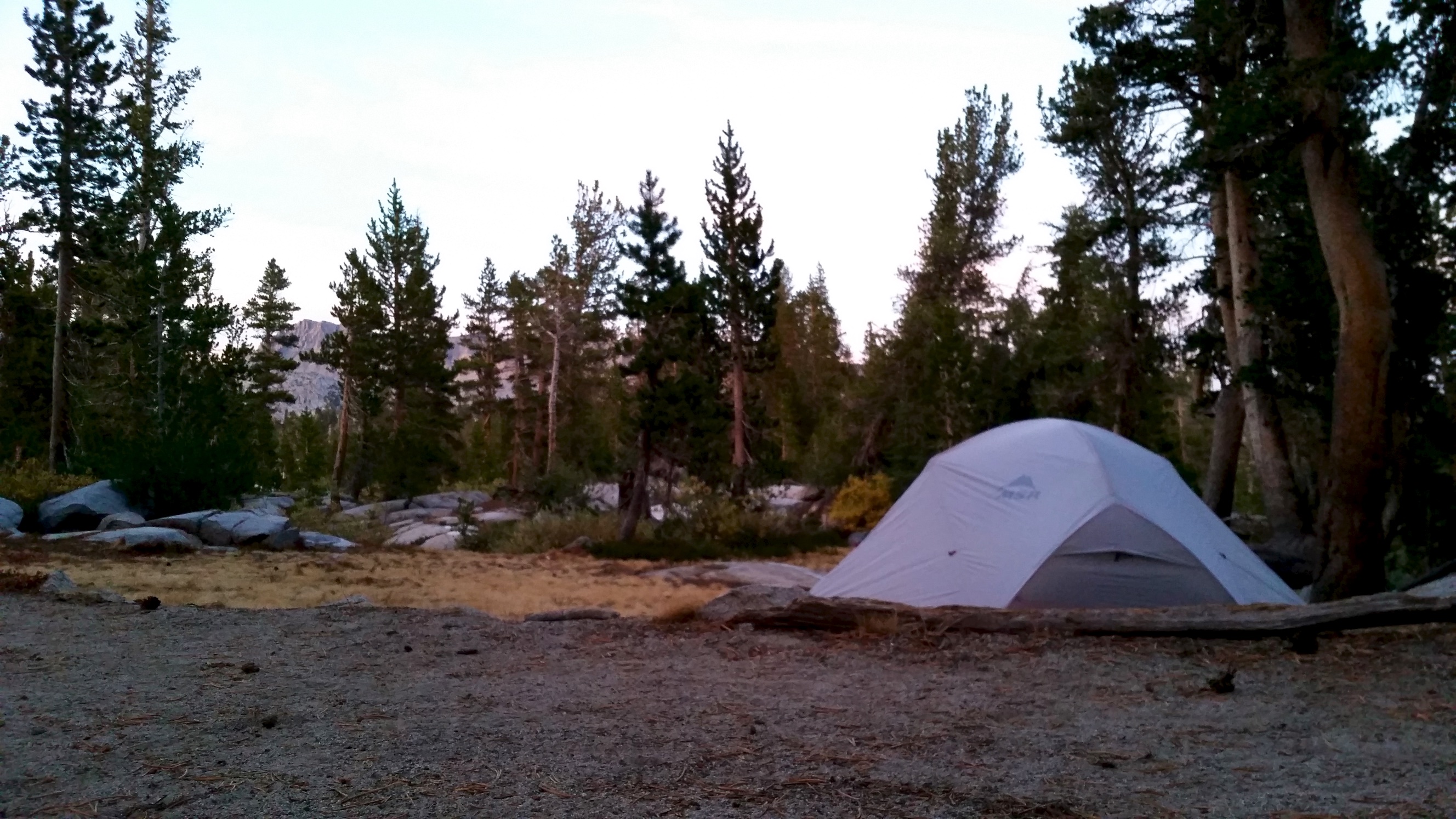
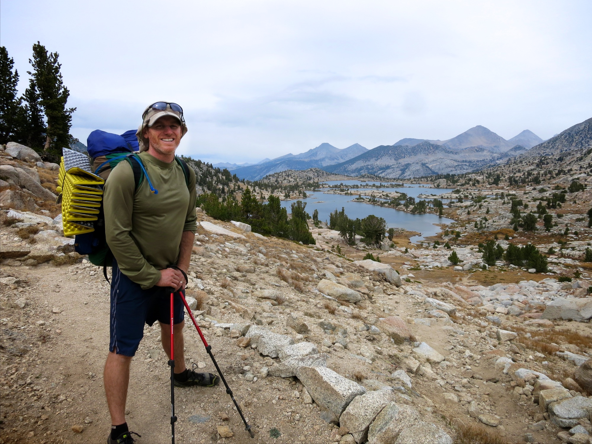
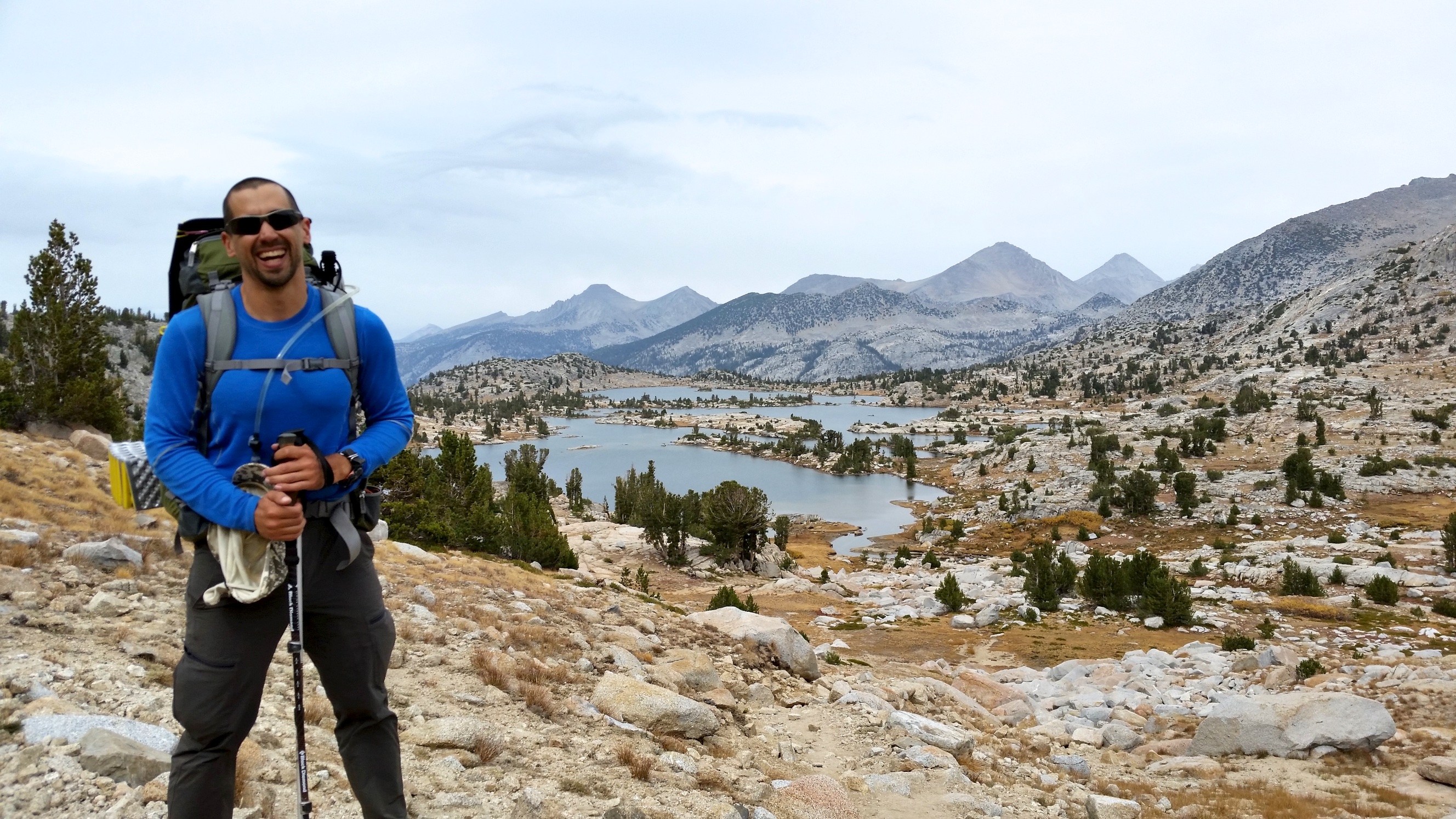
This section of the trail was beautiful, running through Lyell Canyon next to the Lyell Fork of the Tuolumne River. It is mostly flat, with the river running alongside the trail and plenty of great views and scenic spots. We then climbed up to Donahue Pass (11,073 feet). There were pristine green mountain lakes on the way up, and even springs bubbling up from rocks next to the trail. We had planned to camp near the summit on the other side but after speaking with some other hikers we decided to press on to the junction of the Marie Lakes Trail. This was probably the most beautiful place we’d seen since starting the trip.
A man had already set up his camp there, and was really enthusiastic about my home made gear. He even showed me his home made flip-flops: “Check these out, only 1.4 ounces!!!” Eric just shook his head and rolled his eyes.
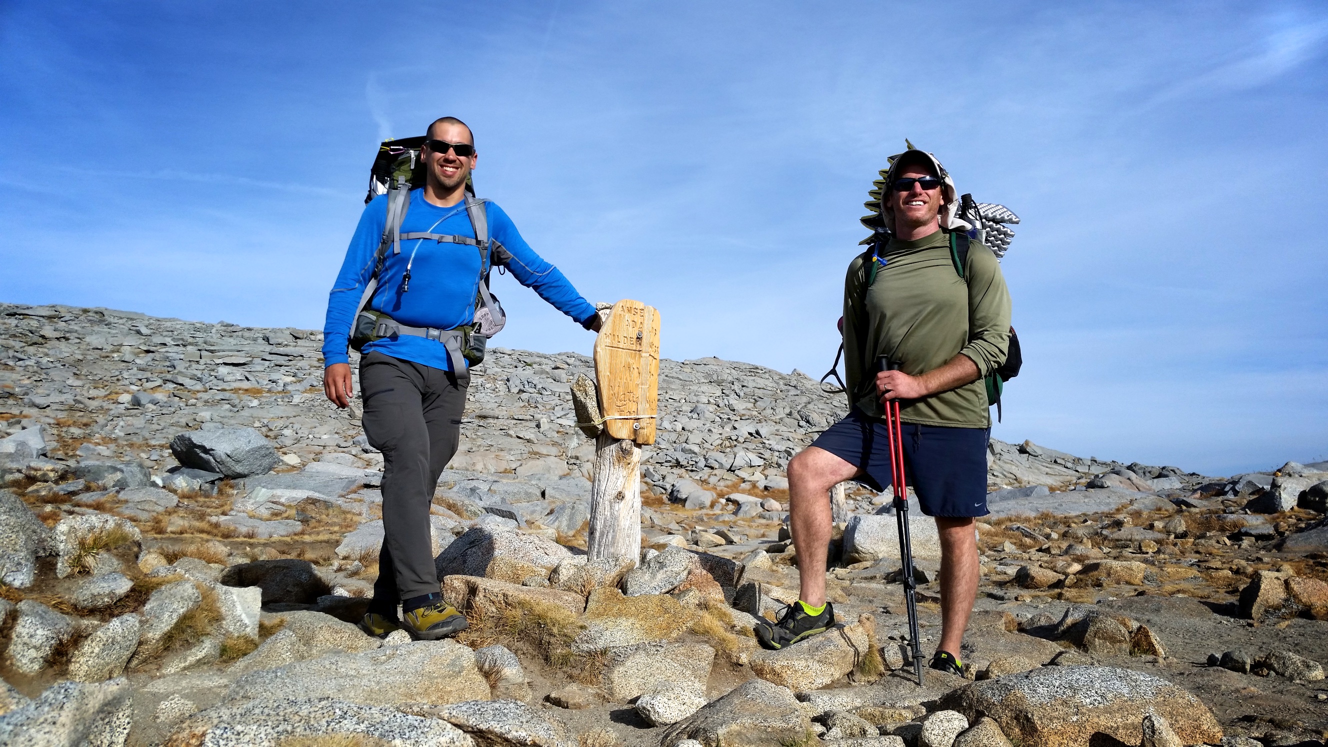
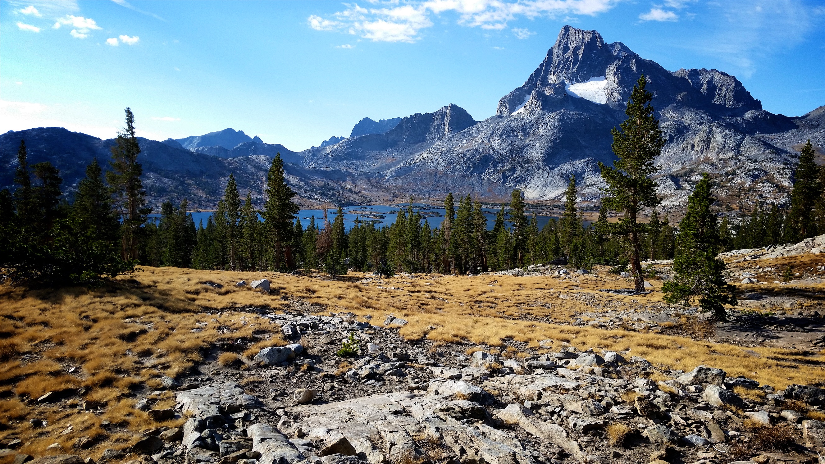
Next morning we headed out bright and early. I was excited to see Thousand Island Lake and Garnet Lake. They did not disappoint, backed by Banner Peak. We pressed on, passing lake after beautiful lake, some small and deep, some vast, and ended up at Reds Meadow, right near Devils Postpile. We called the restaurant to find out their closing time and found that if we could run to the campsite, set up camp and run back, we would possibly still have time to order a hot meal. Eric adamantly insisted we go for it but I had lost steam, exhausted. He did not let up and so grudgingly I set up and away we went. We made it!
The next morning we had a huge breakfast at Reds Meadow and set off. I made a note on my map to come back to Lake Virginia, a spectacular place to stay a couple of days. The day was really hard on our bodies, ending in a grueling downhill slog descending 1,000ft at a spot called Tully Hole. We remarked how beautiful it was as we cursed John Muir for making such a heinous route. This was a pretty low point of the trip.

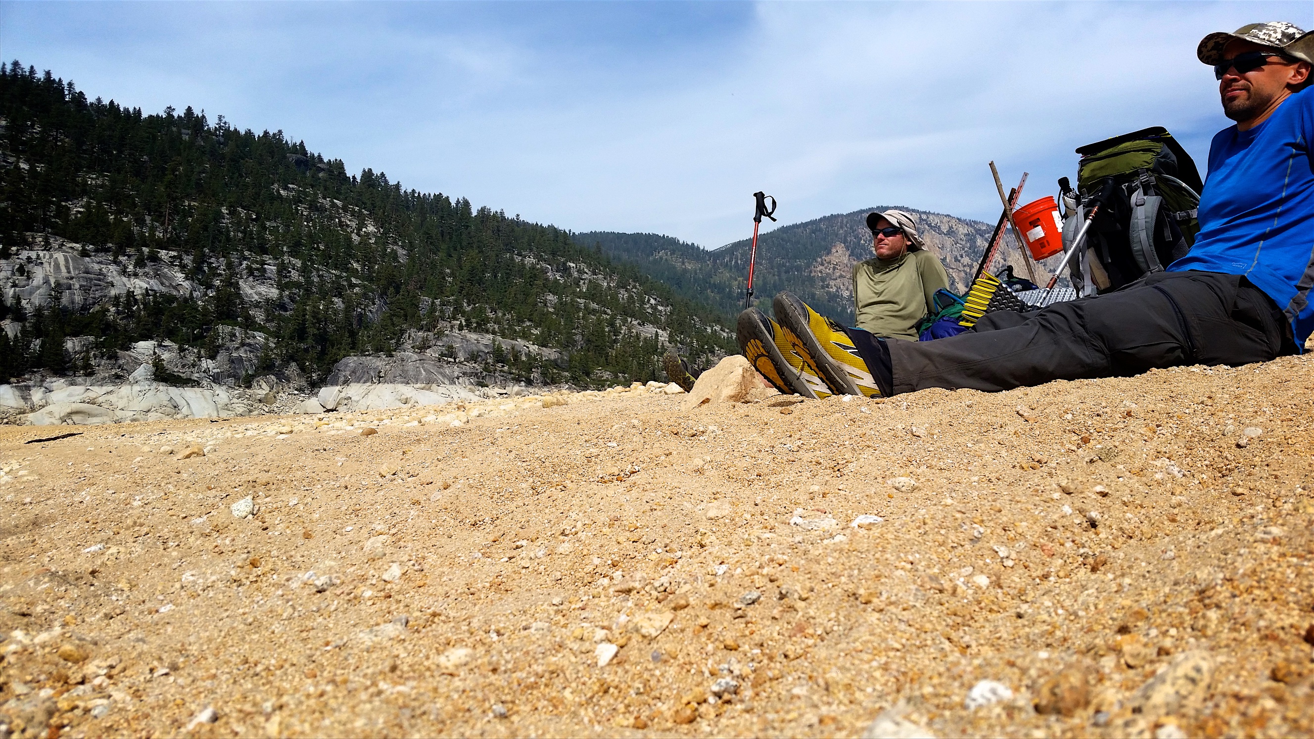
But in the morning we regained our high spirits and began our hike to Lake Thomas A. Edison where we would catch the ferry to the Vermillion Valley Resort, our resupply point and our first and only ‘zero’ day (no hiking, zero miles). We’d heard on the grapevine that the ferry was still running even though the lake was very low and it was really late in the season. The only catch was that the ferry was only running in the morning. So, we had our challenge: to get to the ferry landing by 11:30am. It was only 12 or 15 miles away…
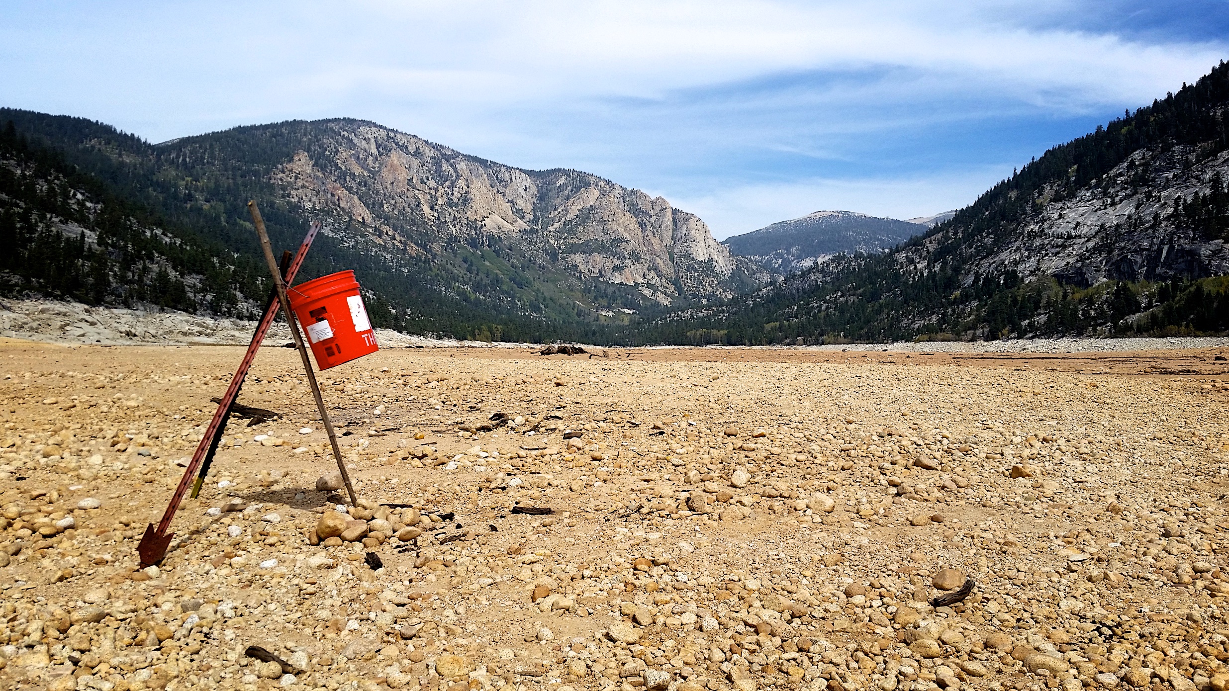
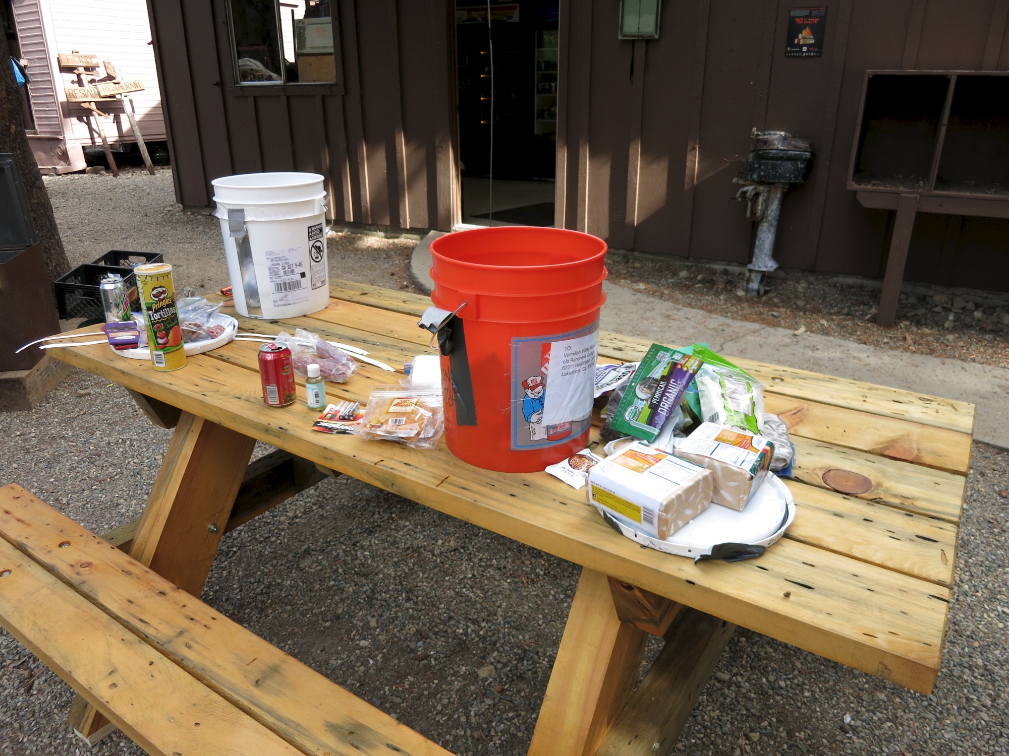
When we made it to the ‘lake’ it looked more like the Anza Borrego Desert than a lake. Since it’s a reservoir feeding towns and farms downhill it gets drawn down and refilled substantially. After four years of drought, there were cacti and other small plants growing in a wide expanse of sandy desert. We felt right at home in this SoCal scenery. The staff at the resort have set up a line of orange buckets on sticks (old resupply buckets) which guide the way to the ferry landing. We followed the line of buckets for a mile or so along the dry lakebed until reaching a depressing square pond in the middle of the lake. By this time it was about 12:30pm. Remarkably we had cell reception so we called the resort to see if they’d come get us. The response was, “Lemme see if Jeff’s done with lunch…. ahh OK yeah he’ll be there after 1pm.”
Sure enough, shortly after 1pm a speck appeared through a narrow channel cut into the pond wall. The ‘ferry’ was a small steel dinghy. Jeff loaded all our gear into the bow along with a couple of stout rocks, noting that since it was made by Grumman it had a nasty habit of trying to take flight if the nose wasn’t trimmed properly.
As we motored off to the other side of the pond, Jeff told us how the lake was originally a quarry, and the pond in the center was the main quarry. The narrow channel we motored through was the original quarry road – it was literally the width of a dump truck and was a surreal experience after our hike.
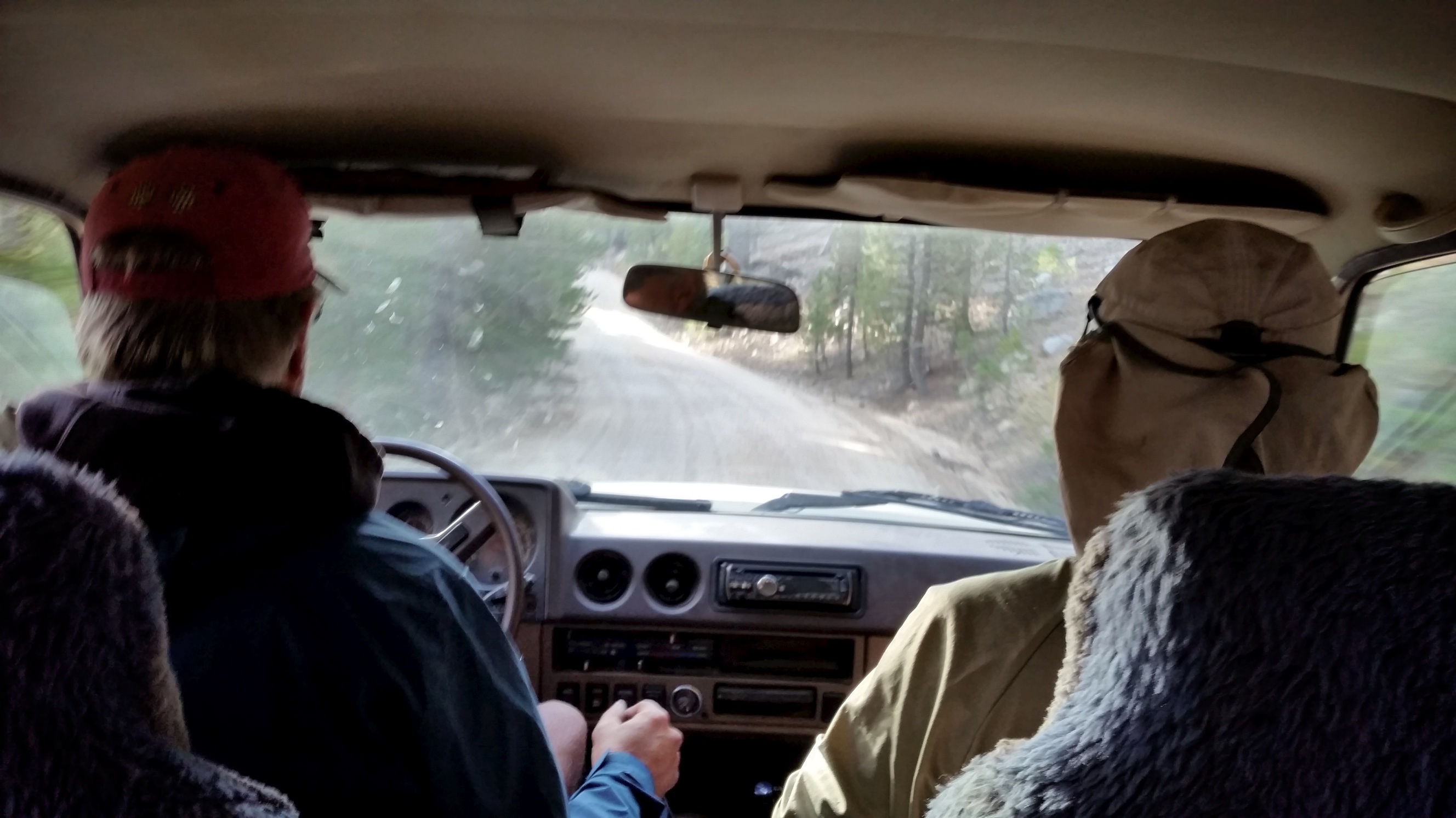
But that wasn’t it! The lake was far too low for the ferry to get to the boat ramp so we pulled ashore. “Throw your stuff in that Land Cruiser over there while I tie the boat up,” we were instructed, and we obliged. We drove the rest of the way over the dry lake bottom and up the boat ramp in the sweet old FJ60 Land Cruiser, huge grins on our faces, reaching the Vermillion Valley Resort completely stoked.
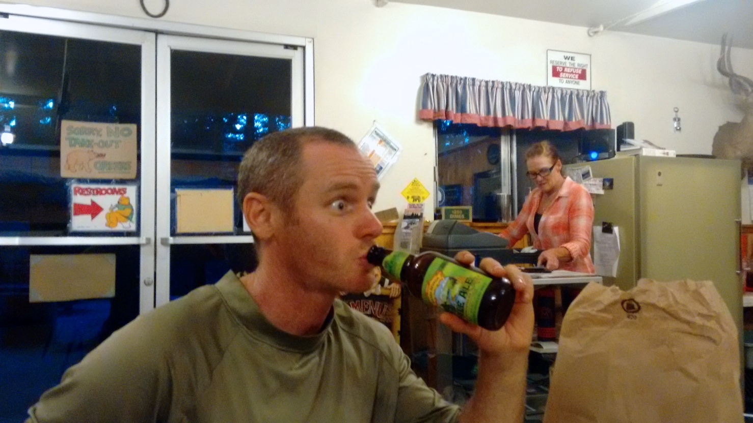
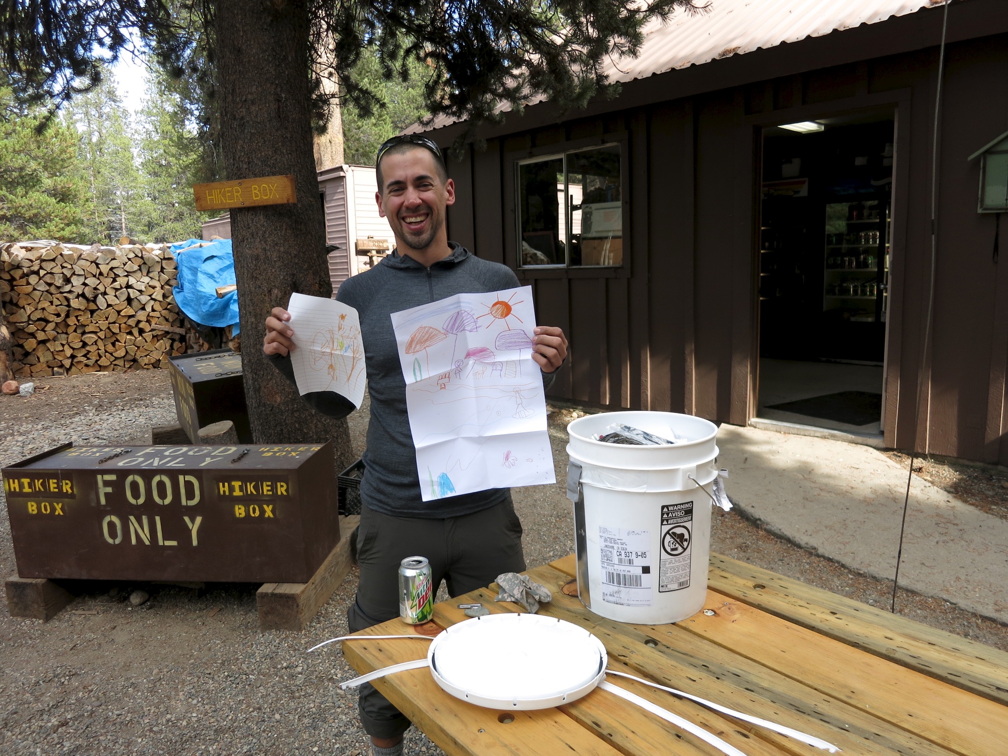
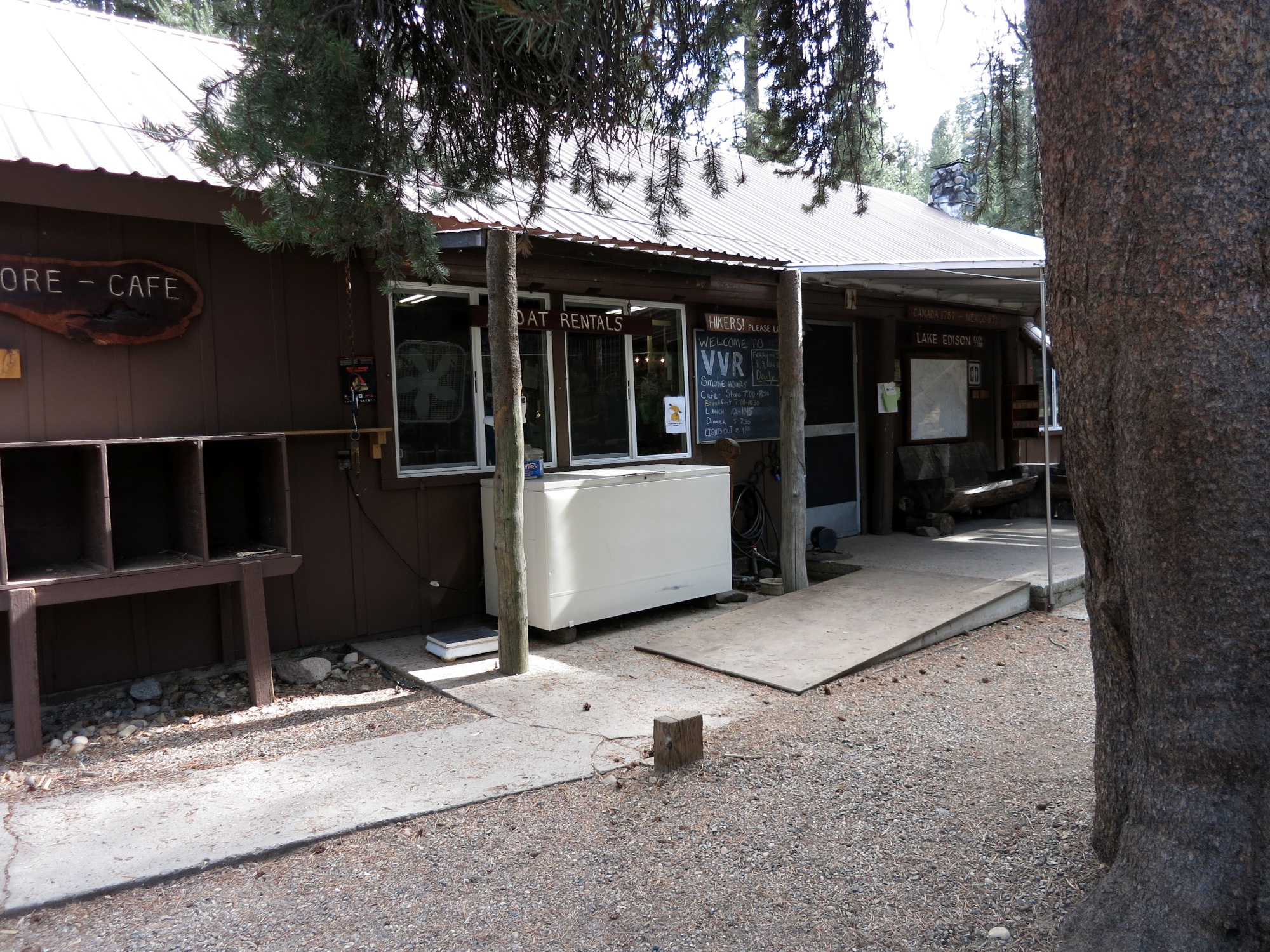
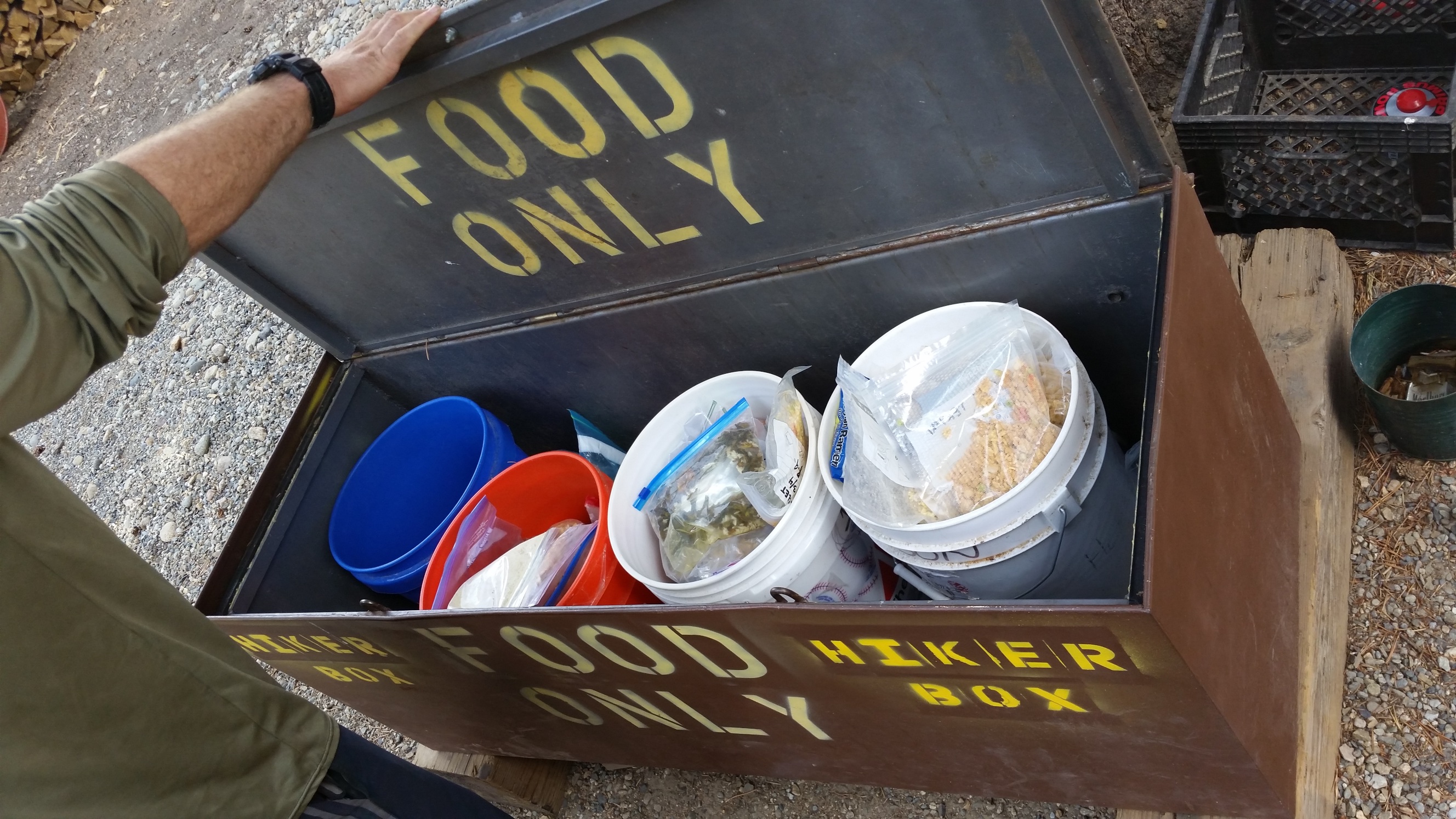
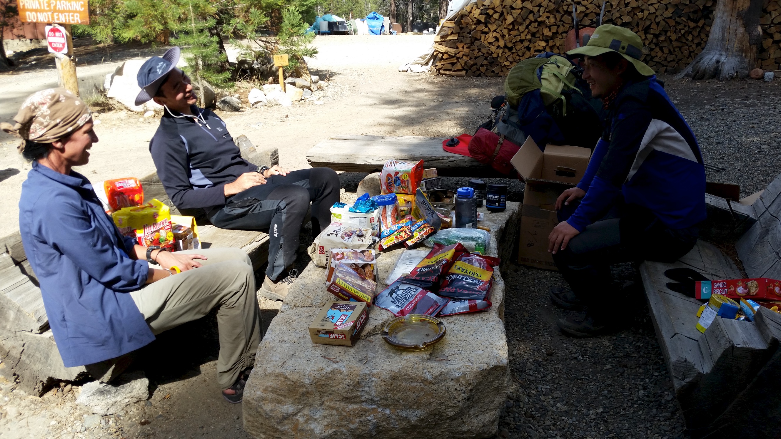
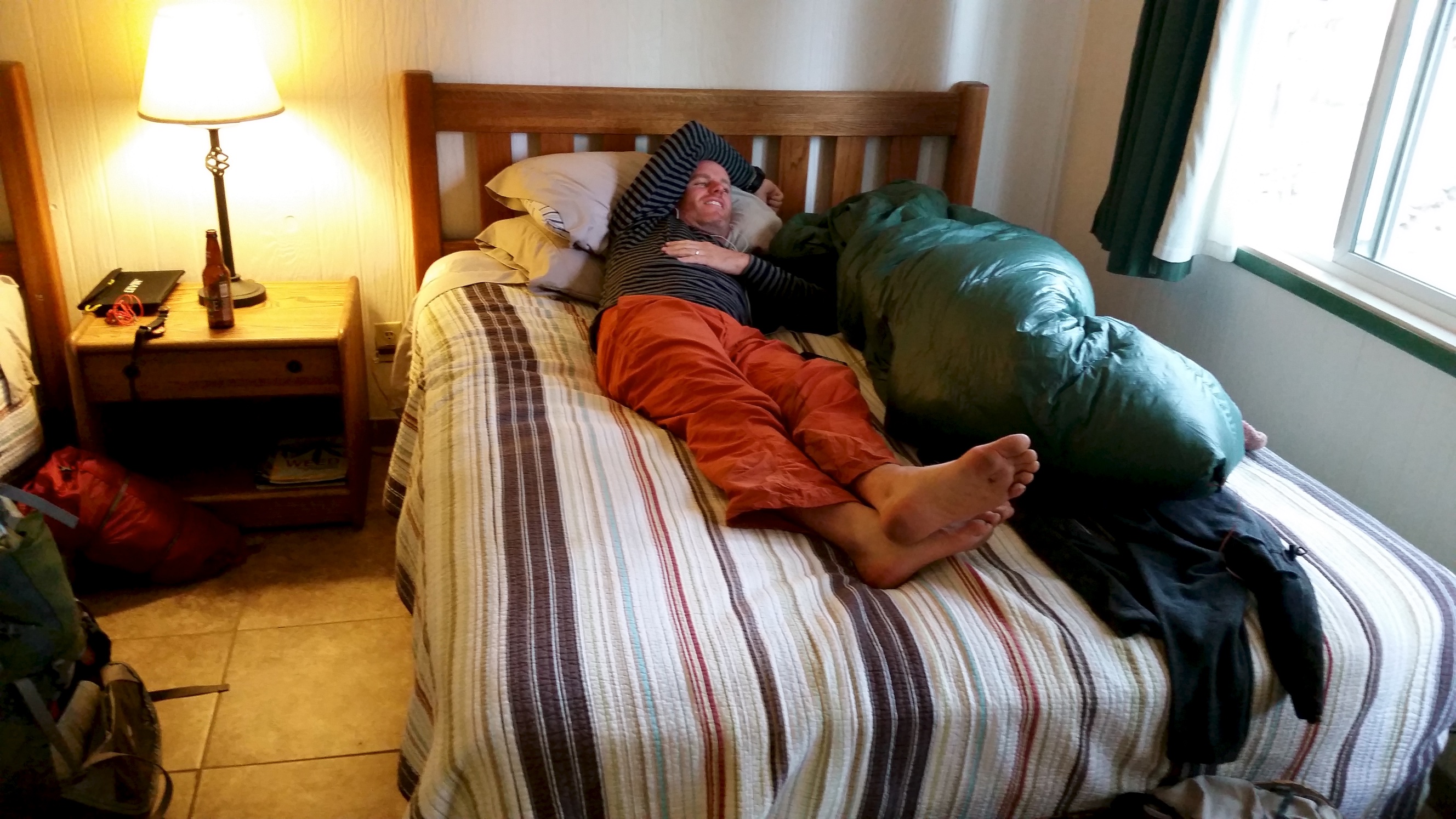
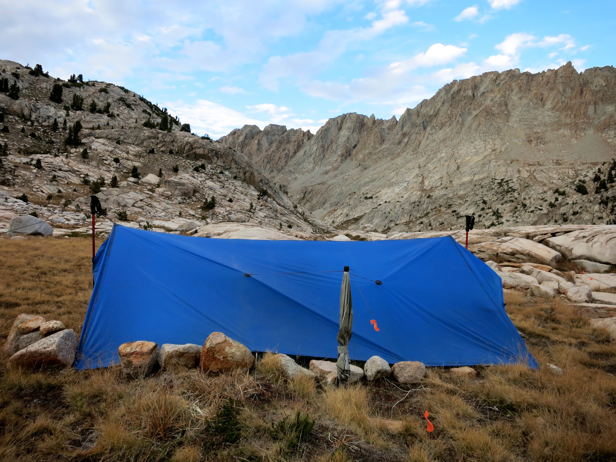
VVR is a cool place, I could write a whole post about our time there…. maybe I will…. In the meantime this will have to do. Our resupplies were there and full, the food and company was amazing, the room was great, etc etc. I found that I preferred my tarp and down quilt to the bed the first night.
Leaving VVR we were shuttled to the Bear Ridge Trail in the same Land Cruiser. After 5 miles on the Bear Ridge Trail we rejoined the John Muir Trail and climbed up towards Selden Pass, a spectacular pass at 10,898 feet above a beautiful lake. Continuing on we camped the night near the closed-for-the-season Muir Trail Ranch at the JMT half-way point.
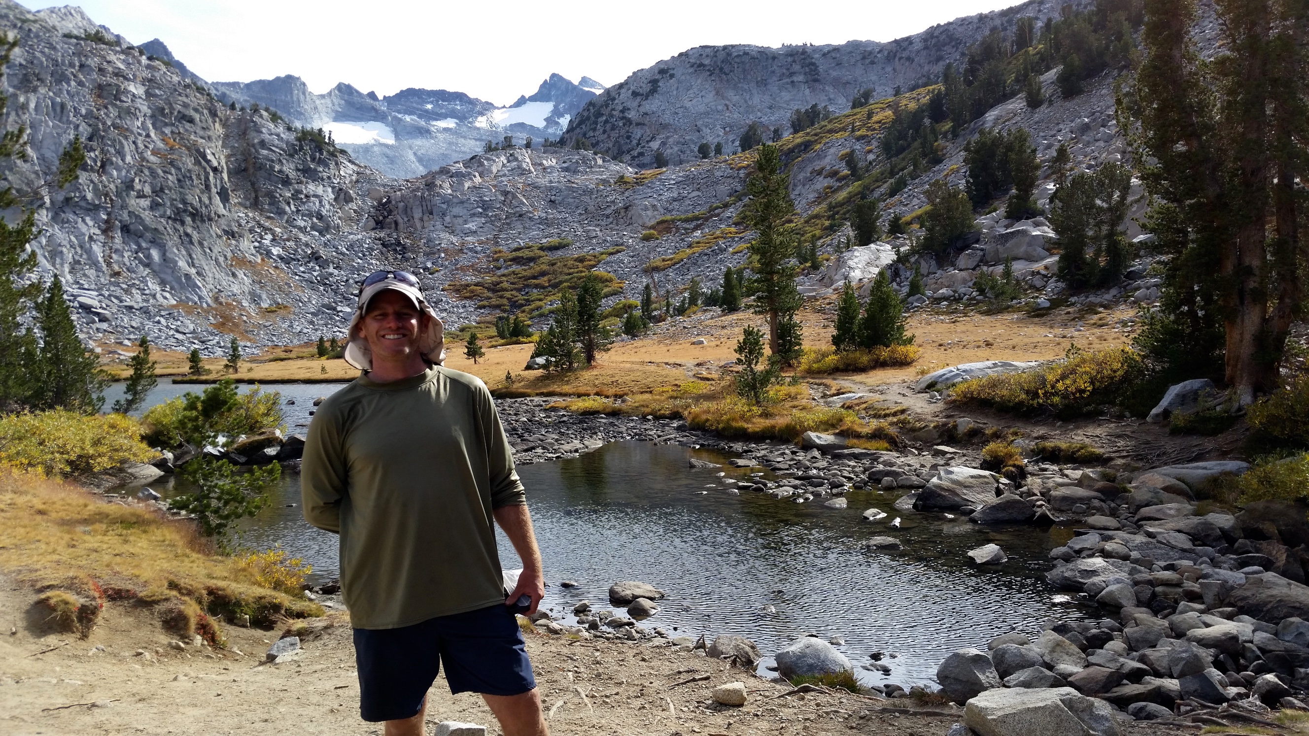
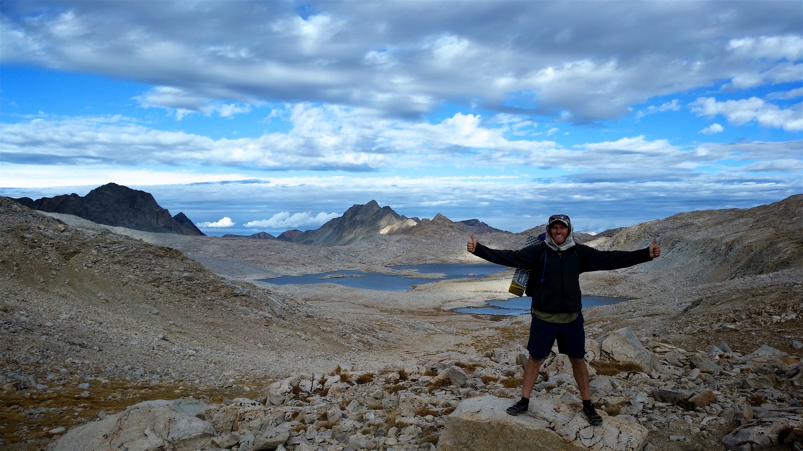
The next morning after an early start we crossed into Kings Canyon National Forest. This area had interesting varied ecologies. We began our climb through the Evolution Valley to Evolution Lake which sits at 10,875 feet. Another stunning area. Our pace and the time of day would have placed us at Muir Pass (11,975 feet) at twilight. We didn’t want to mess with that, so we set up camp below the pass at Sapphire Lake in intense wind.
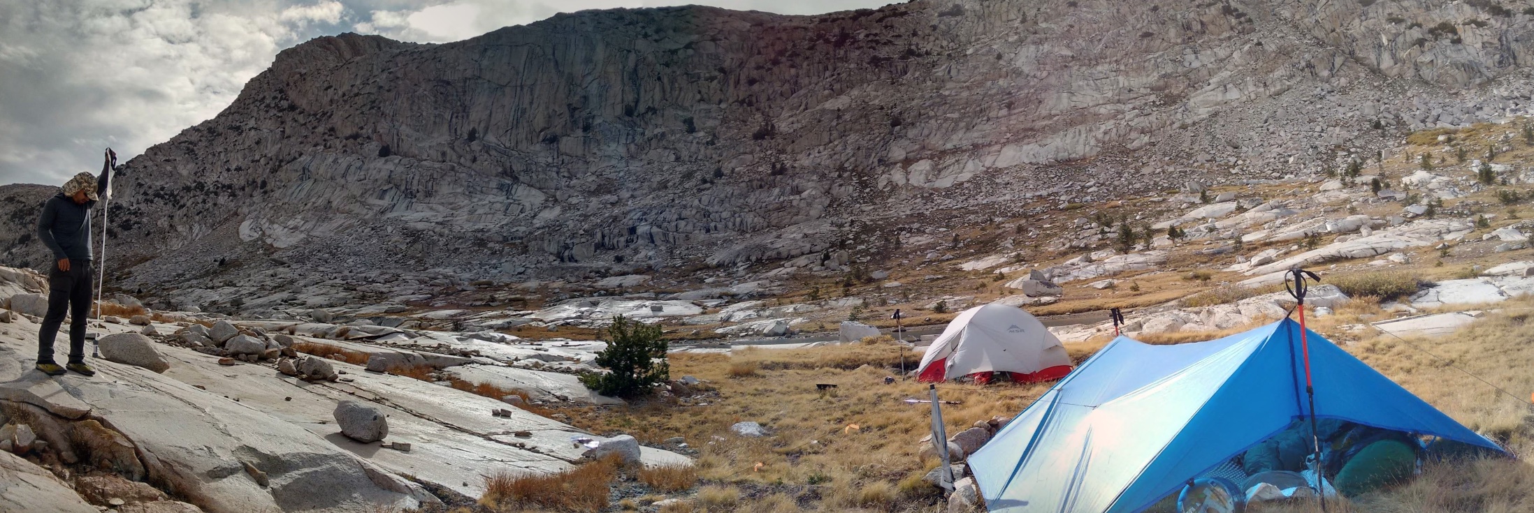
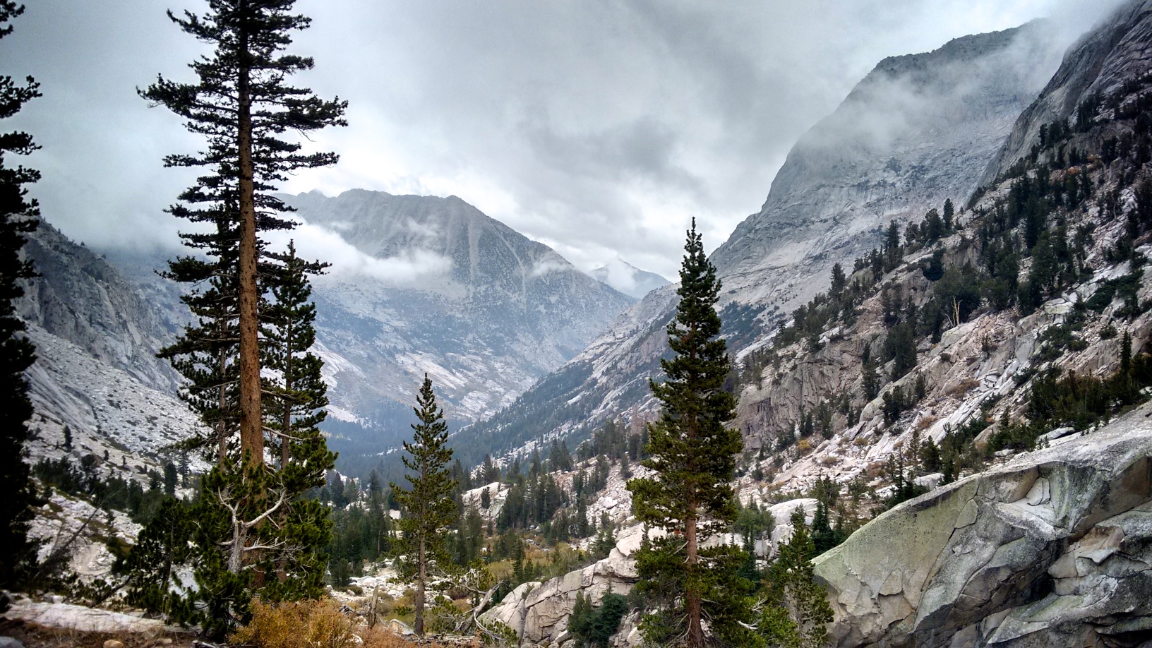
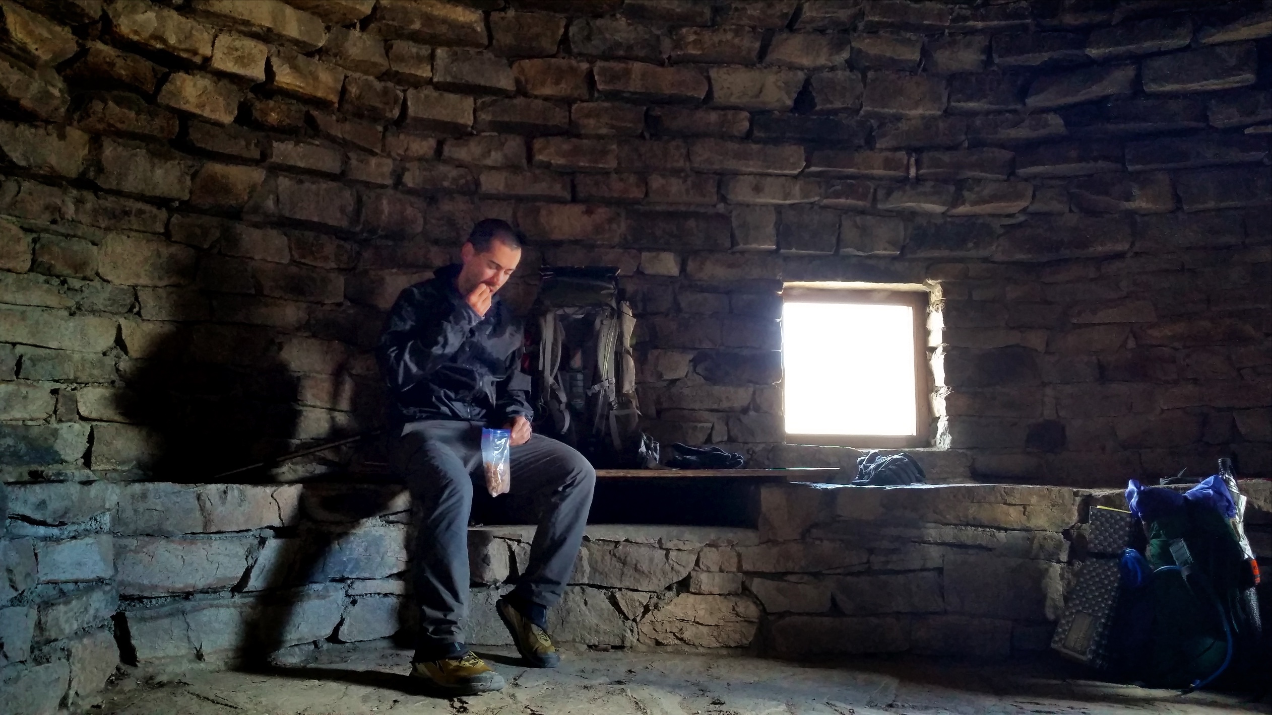
Surviving the night, we climbed over the pass in the morning. As we descended the other side the weather deteriorated as an unstable moist air mass blew in over the mountains and it started to rain. I merrily skipped along, but Eric didn’t like the rain at all and suggested we stop and take shelter. We had read in the forecast at VVR that there was a chance some snow expected and he believed this would be it. So we set up camp by the trail in a beautiful area just north of the Le Conte ranger station.

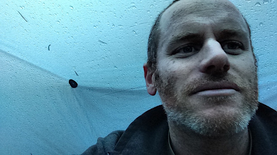
As the rain turned to freezing rain, hail and ice and the temperature dropped we decided to bail out early, not being equipped for a true winter storm. Our plan before we left was to see if we could squeeze a late season ultralight hike in, but with the agreement that we would bail at any chance of adverse weather. We are pretty hardcore but also cautious. Without ice arrest equipment, crampons (or even a tent in my case), an October snowstorm in the Sierras could be very dangerous. Historically the first big winter storms usually come in October and can drop six feet of snow, making the trail invisible.

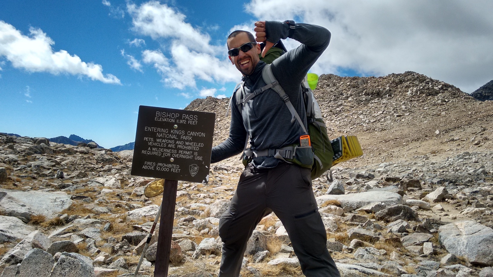
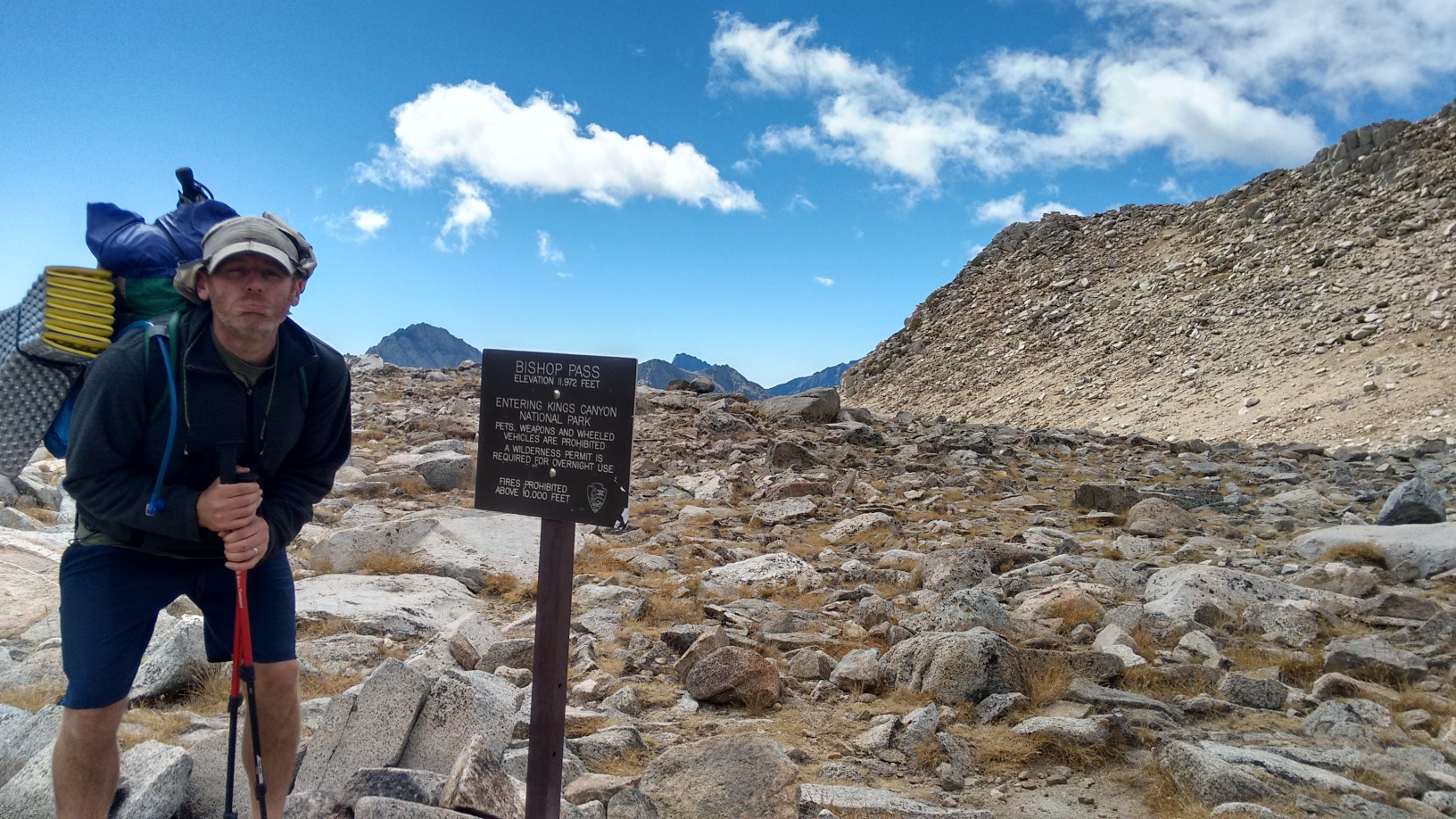
Next morning we headed out over Bishop Pass to the town of Bishop, leaving the John Muir Trail at mile 136, with 74 miles remaining to hike on another trip. Passing other hikers we heard that a Winter Storm Watch had been issued by the NOAA and so we felt justified in our ‘safety first’ decision to bail. In fact, some Korean hikers we passed said they experienced heavy snow up at Muir Pass only a couple of hours after we were there. They had chains, crampons, ice axes and other equipment for winter hiking.
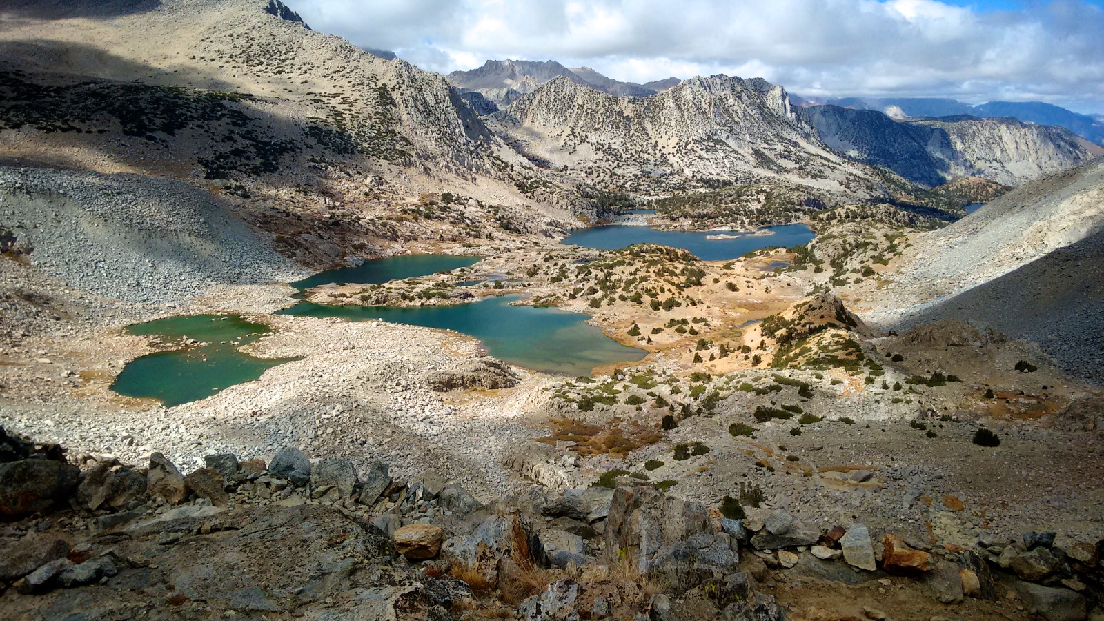
Bishop Pass (11,972 ft) ended up being beautiful and worth the trip also, plopping us down about 20 miles from Bishop at about 4:15pm. Remembering the pain Eric had put me through by forcing us to rush off for a burger at Reds Meadow, I informed him that we would pick up a rental car in Bishop and be home that night. Given that we were 20 miles from town at 4:15pm on a Friday evening and we apparently can’t hitch-hike very well, let’s just say he was not a firm believer in my plan.
But sure enough, a couple came by and graciously stopped to give us a ride, both Eric and my first time hitch-hiking. Good times! At about 4:45pm they kindly dropped us off at the Enterprise Car Rental shop in town. Which was closed and locked. With no open hours on the weekend. We thought we were stuck in Bishop for the night until a convertible Mustang screeched up to the parking lot and out stepped a couple of guilty-looking Enterprise employees.
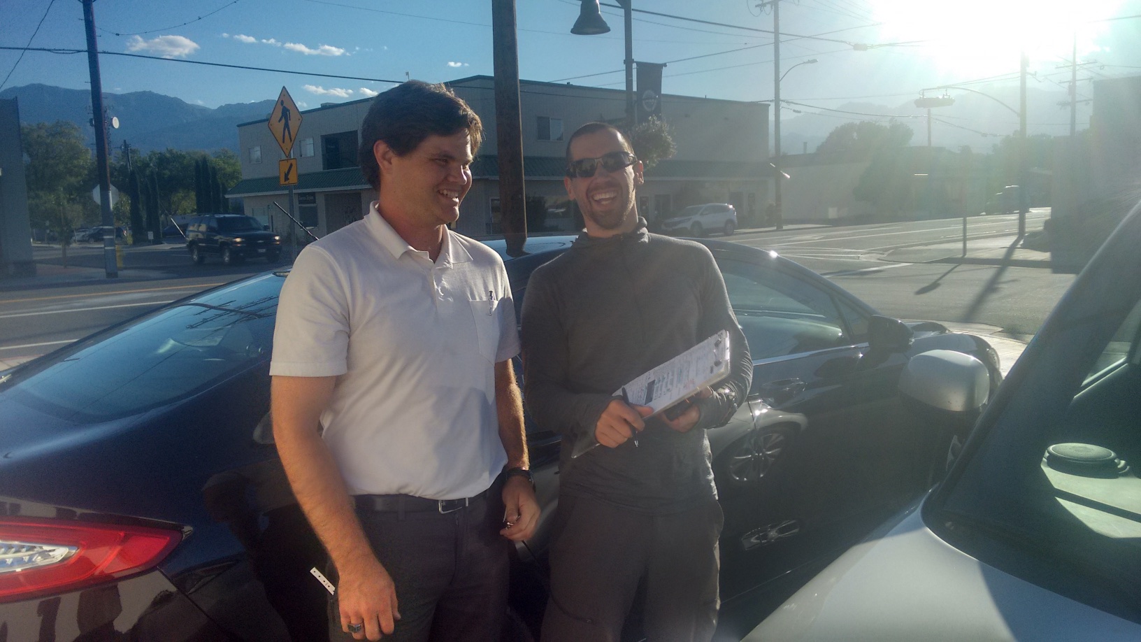
They set us up with a Kia Soul (silver this time) for the trip back to San Diego, and pointed us in the direction of a laundromat where we could take a shower.
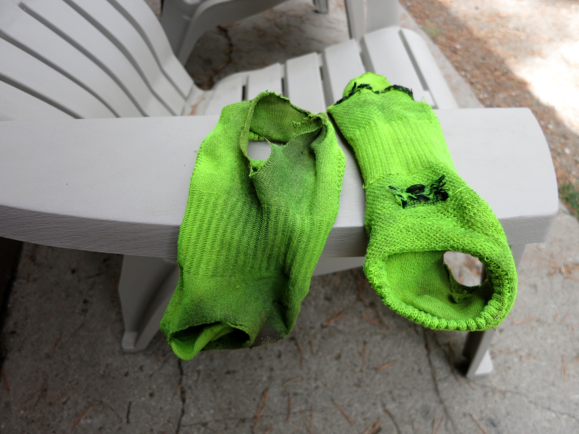
After cleaning up and throwing our toxic waste clothing in the trunk we hit Carls’ Junior and drove home.
I was disappointed we didn’t make it to Whitney, but at the same time happy and proud at our accomplishment on the John Muir Trail. My fears had been injury, gear / food failure and adverse weather (oh and Eric not stopping talking the entire time), but each of those fears had been overcome. While I had some ankle and foot pain I did not have any real injury, my equipment had performed perfectly, food was perfect, and we had escaped the snowstorm.